BASOAK MTB MUGA WEST
The westernmost multi-stage route of the BASOAK MTB UNIVERSE
3 Mountain biking stages in Navarra through the Andia-Urbasa and Aralar mountain ranges, and the Basaburua BTT Space.
style - mtb - All Mountain
SELF-GUIDED ROUTE WITH GPS
- extendable to 4 stages -
Some parts of this website may be in the process of being translated.
BASOAK MUGA WEST
THE ROUTE
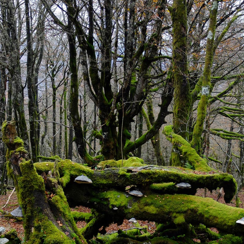
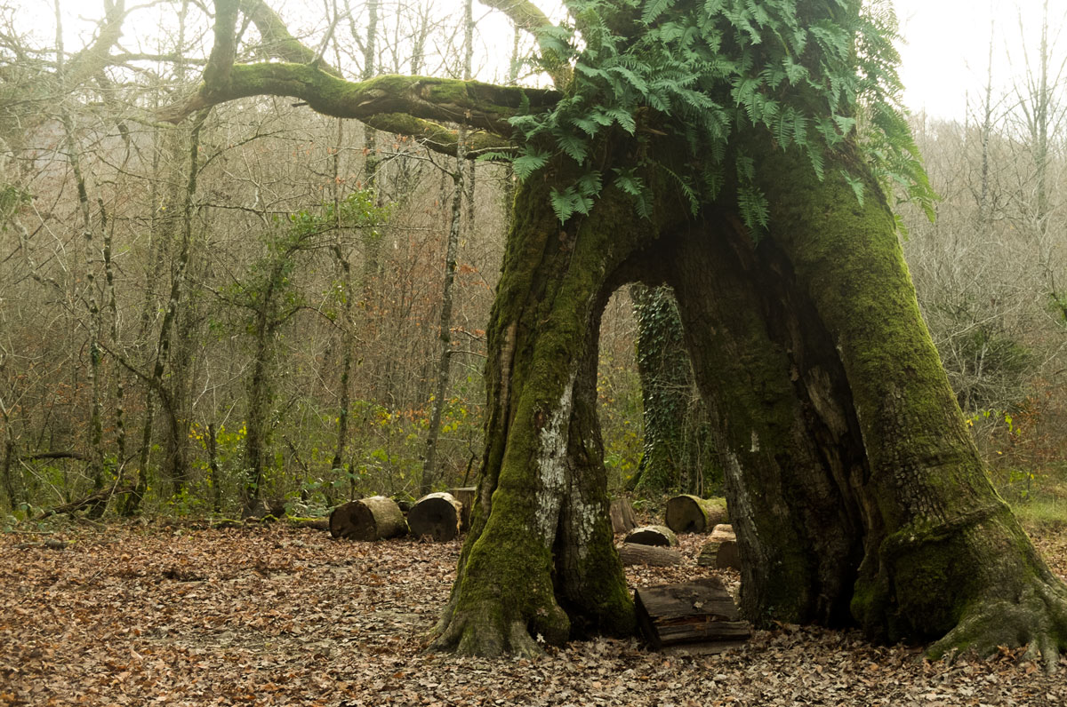
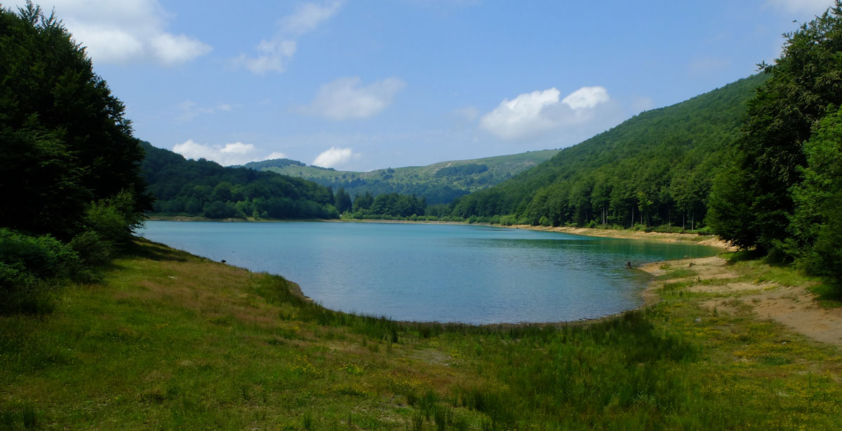
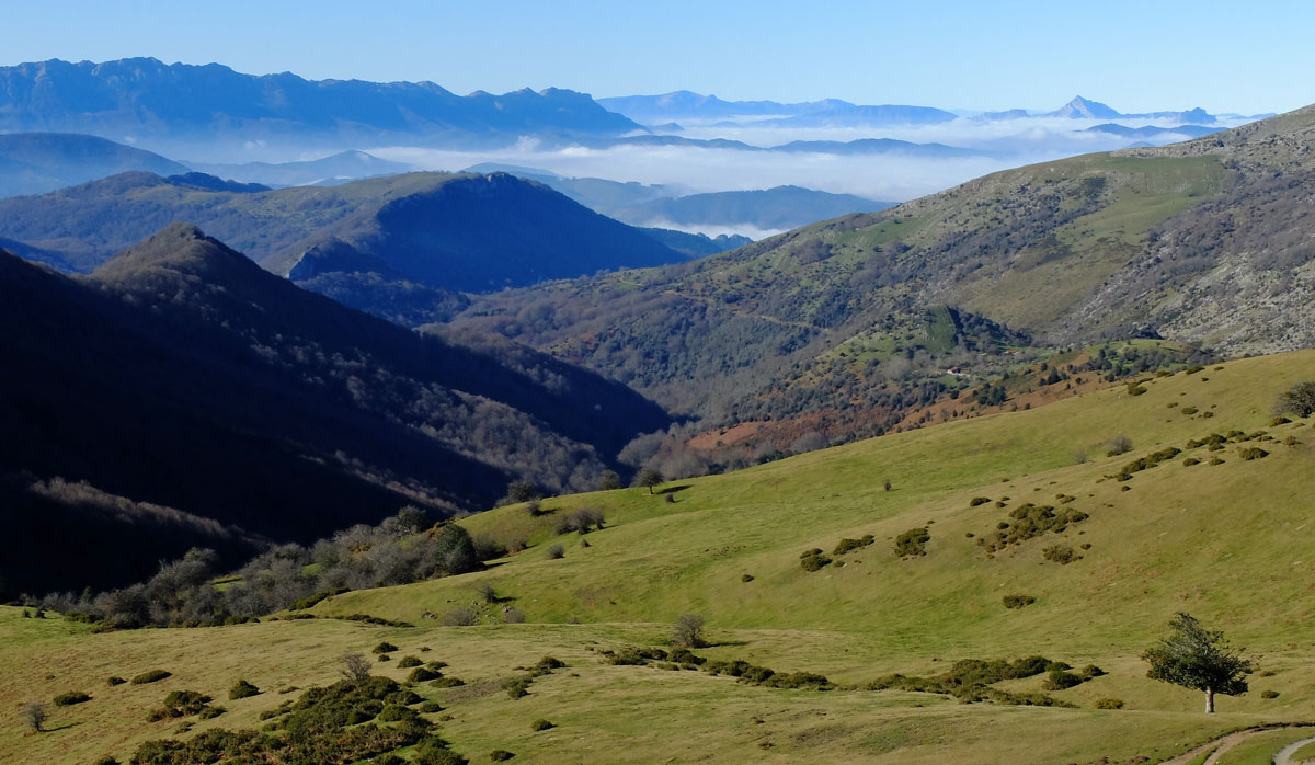
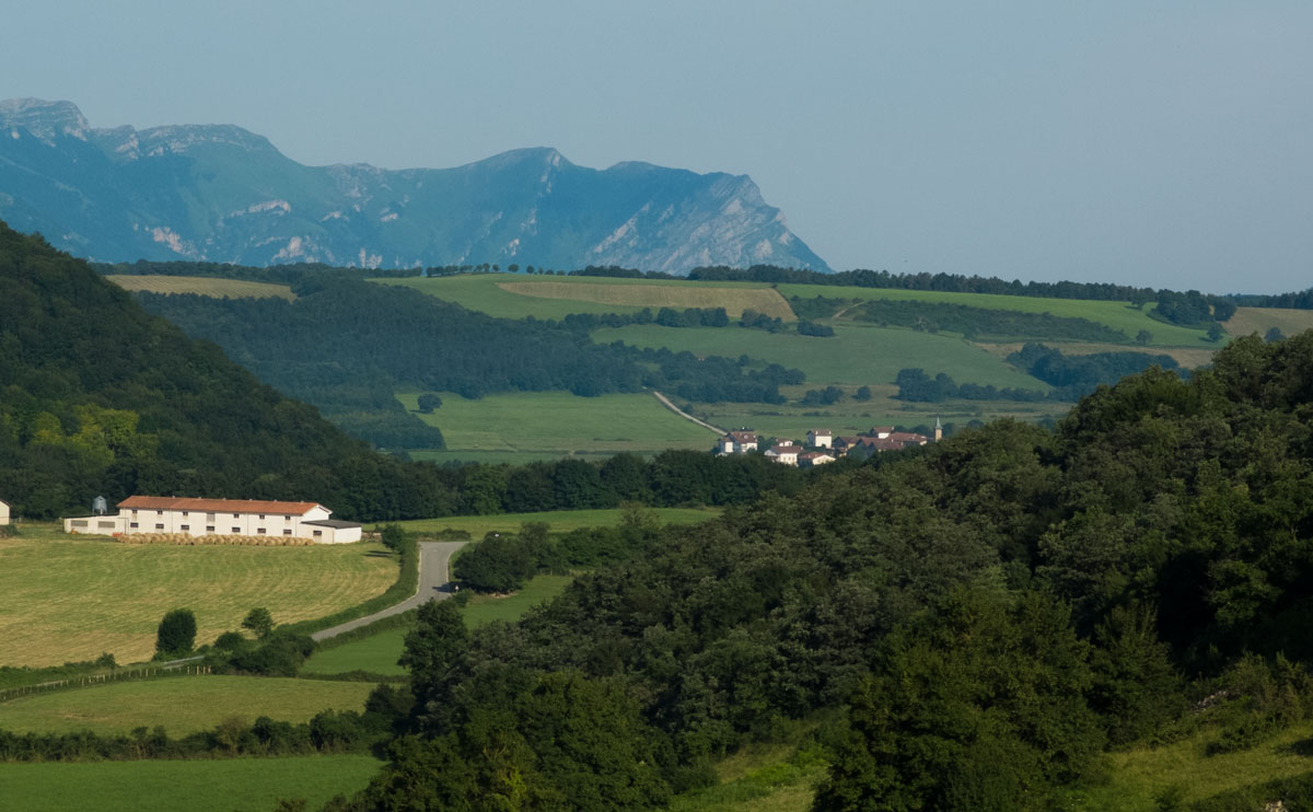
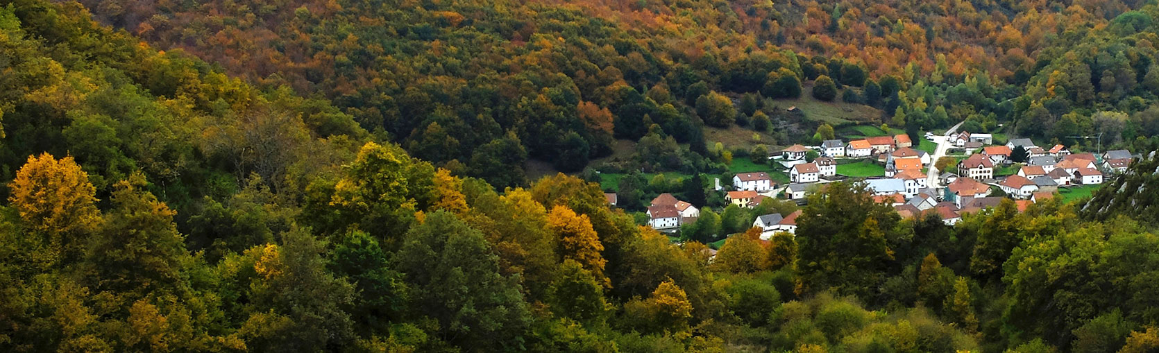
A territory with a marked pastoral character in which beech and oak forests alternate in the landscape with wide meadows arising from ancestral grazing, delimits the UNIVERSO BASOAK to the west. It is our MUGA WEST.
In toponymic terms we are referring to the Urbasa-Andia Range - 2 toponyms for the same geographical unit - and the Aralar Range. In addition to being the westernmost limit of our proposal, these territories were also the boundaries - mugas - in time past between the Basque territories and the Bardulos who occupied the lands just further north in nearby Gipuzkoa. BASOAK MUGA WEST in fact timidly enters that geography.
...
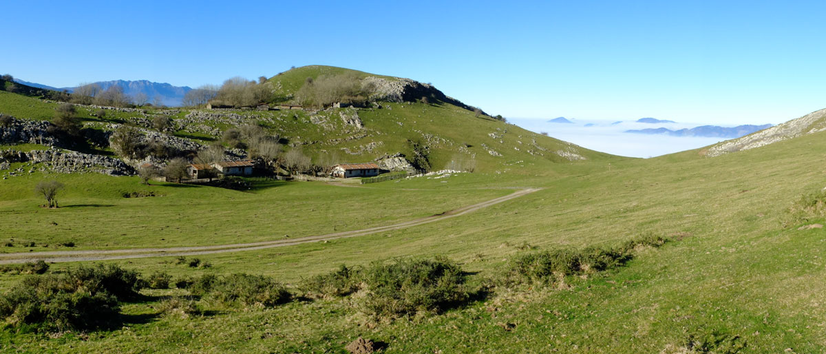
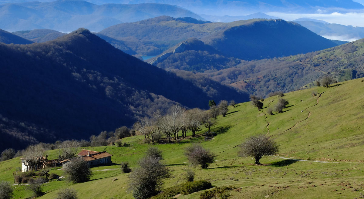
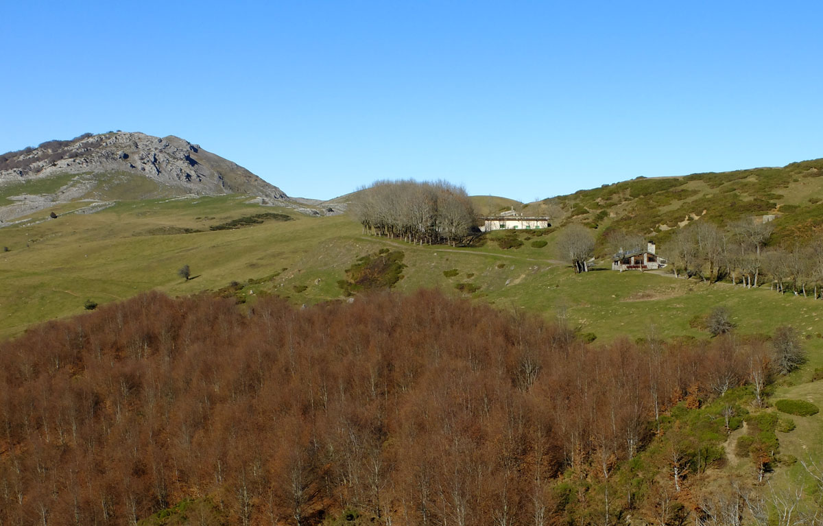
The territory needed to close the circle that this proposal requires is provided in an unparalleled way by the Valley and MTB Center of BASABURUA with a combination of trails designed specifically for MTB, and mountains that, although lower in altitude than the aforementioned ranges, already point towards the NAVARRE PYRENEES and its essence of hilly mountains -because they are old- and with the potential to house the perfect surface that our wheels need.
Optionally, it is possible to add a 4th stage (stage Y) by extending the stay in Lekunberri and staying 2 nights at this point. If we choose to do so, we will see that the track will head north and enter the Leitzaldea region, a territory with a marked Cantabrian character - the sea is already close - and where another group of local bikers is devoting efforts and hours to the task of adapting old, almost unused paths to current needs linked to cycling.
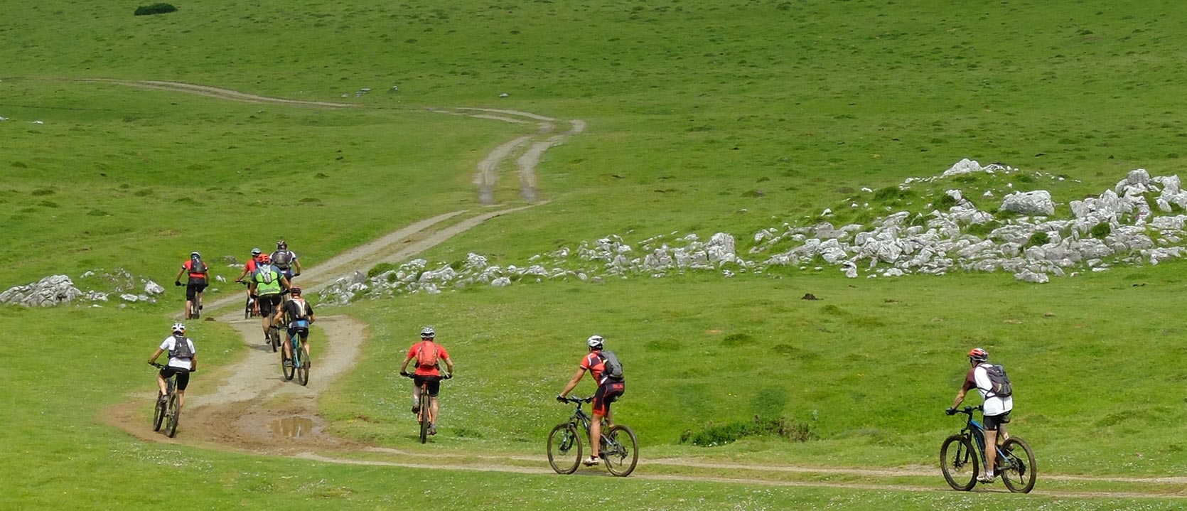
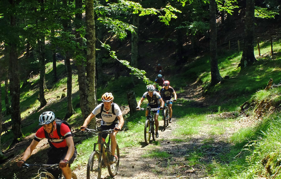
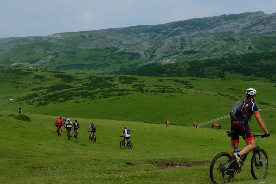
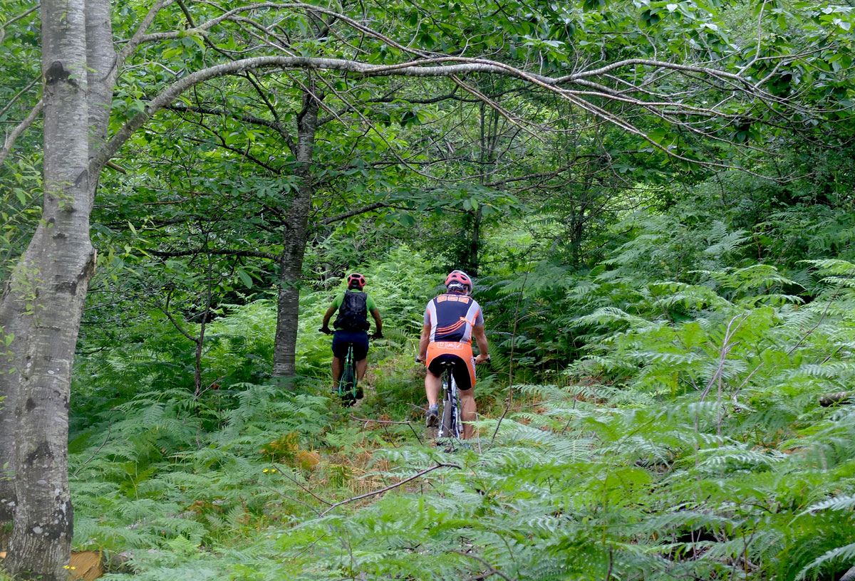
Speaking about bike style and in order to understand "where the shots go" in the BASOAK MTB UNIVERSE, we can say that overall these are stages with a considerable level of physical demand and moderate technical demands. We could summarise this by saying that we are not looking for enduro but we are pursuing "singletrack", the more "flow" the better. In some of the stages this is achieved better and in others worse.
The experience offered by PIRINEOS PUNTO BIKE consists, in broad terms, of a Self-Guided Tour pack. This includes Accommodations, the GPS Tracks for the route, a detailed map-sketch with alternatives for each stage, and Luggage Transport from hotel to hotel.

- Full technical
route totals - Stage V
Irurtzun - Arbizu - Stage A
Arbizu - Lekunberri - Stage W
Lekunberri - Irurtzun - Stage Y
Circular Lekunberri
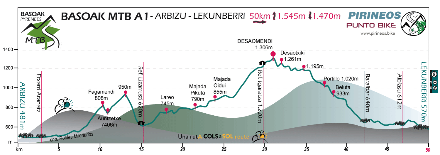
Stage V: Irurtzun - Arbizu
Distance: 50 km Unevenness: 1.365 m
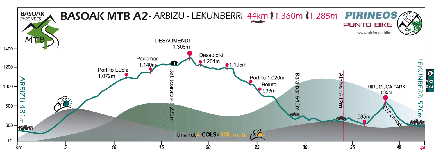
Stage A: Arbizu - Lekunberri
Distance: 44 km Unevenness: 1.215 m
Stage W: Lekunberri - Irurtzun
Distance: 52 km Unevenness: 1.645 m
The full route
Distance: 147 km Unevenness: 4.395 m

Optional stage
Stage Y: Circular Lekunberri - Leitzaldea
Distance: 59 km Unevenness: 1.565 m
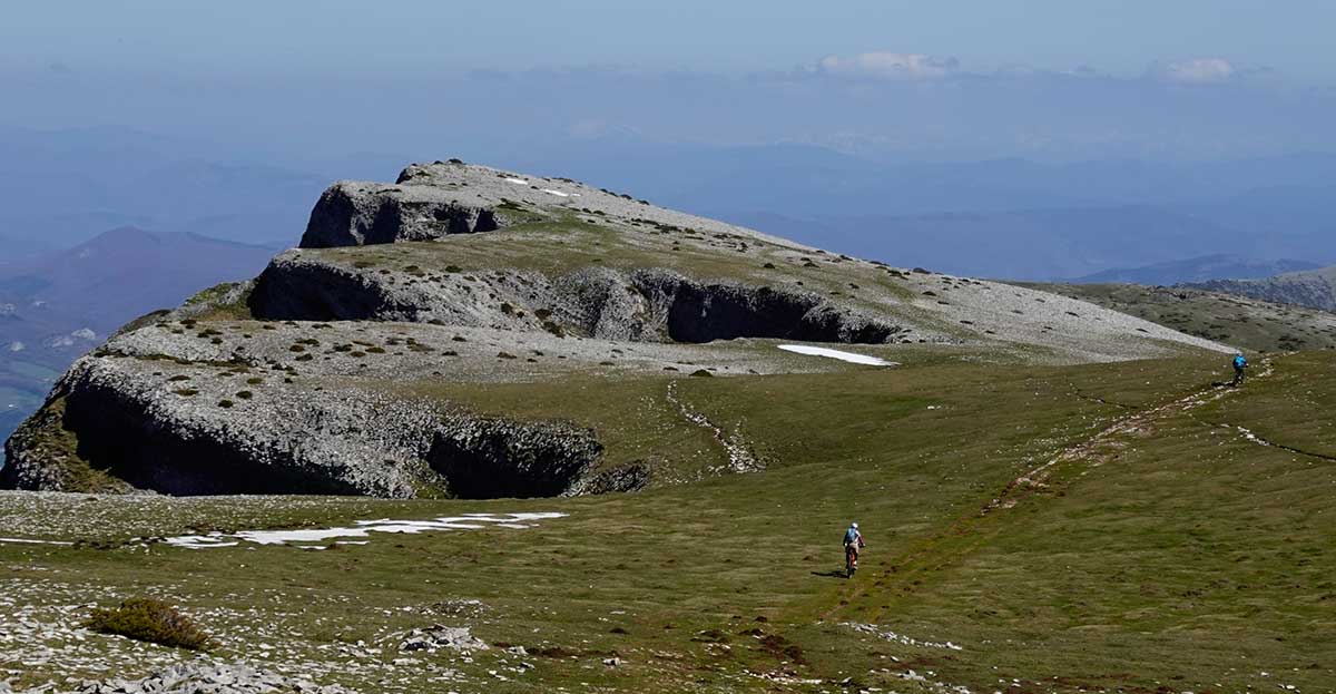
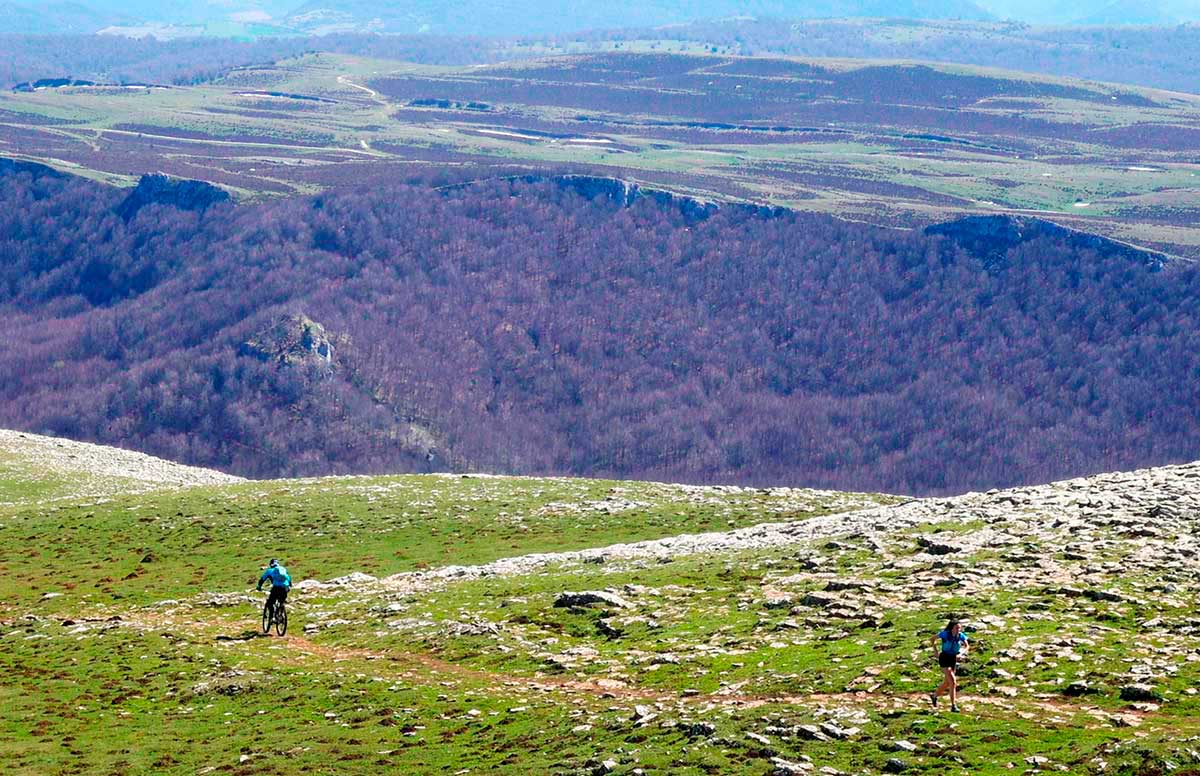
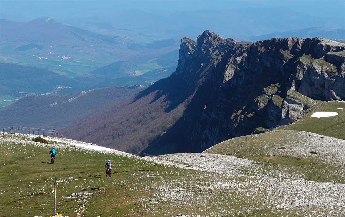
Irurtzun - Arbizu
La cima de la Sierra "Grande"
Stage V of BASOAK MTB is the "Cima Beriain" stage.
After the initial flat section on the road, the route becomes almost abruptly steeper to ascend to the 1,495 metres of the summit.
From the top we can decide whether to descend at a relaxed pace to Arbizu via the town of Unanua or whether to continue towards the Sierra de Urbasa to descend to Etxarri Aranatz via a somewhat more technical route. Sometimes the weather will be what makes us decide between one option or another. Neither will disappoint us, the surroundings of the Andia/Urbasa Natural Park in which we move, magnifies everything.

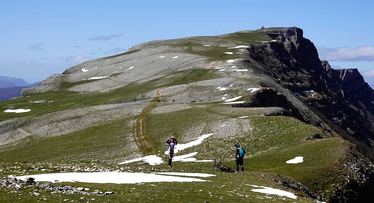
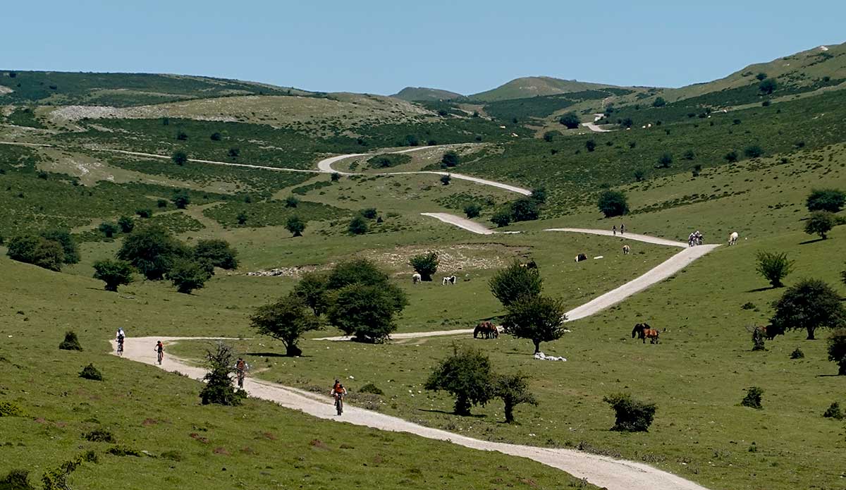
Arbizu - Lekunberri
Sierra de pastores
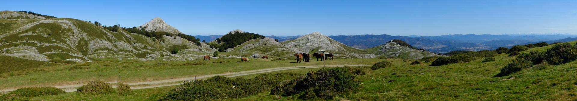
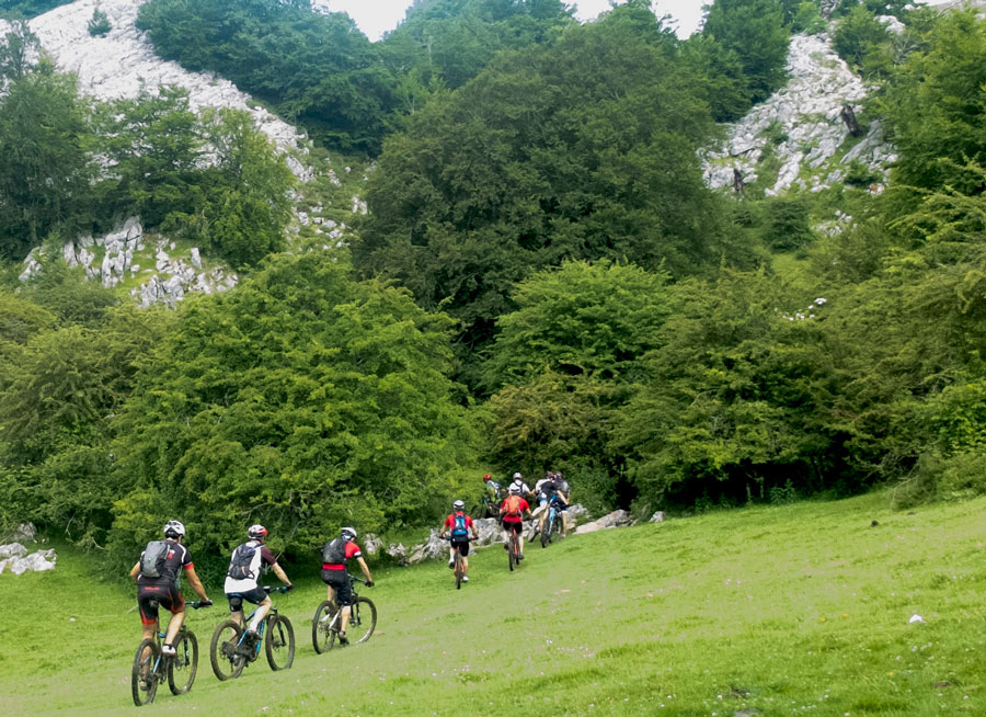
Stage A of BASOAK MTB is the "Aralar Range" stage.
After a first foray into the Altzania Range in which we will cross the impressive path of the Millennial Oaks and a succession of remains of various dolmens, the track of the route enters the Aralar Range. Here there is a clear difference between a 1st part ascending on the Gipuzkoa slope and a 2nd part in the Navarre area where, after going flat for several kilometers through the top of the mountain range, we will proceed to descend to the valley at Lekunberri.
With an ancient pastoral tradition, the Aralar range is currently a Nature Reserve which continues to maintain this tradition despite being in the vicinity of some of the most industrialized areas of the Basque Country.
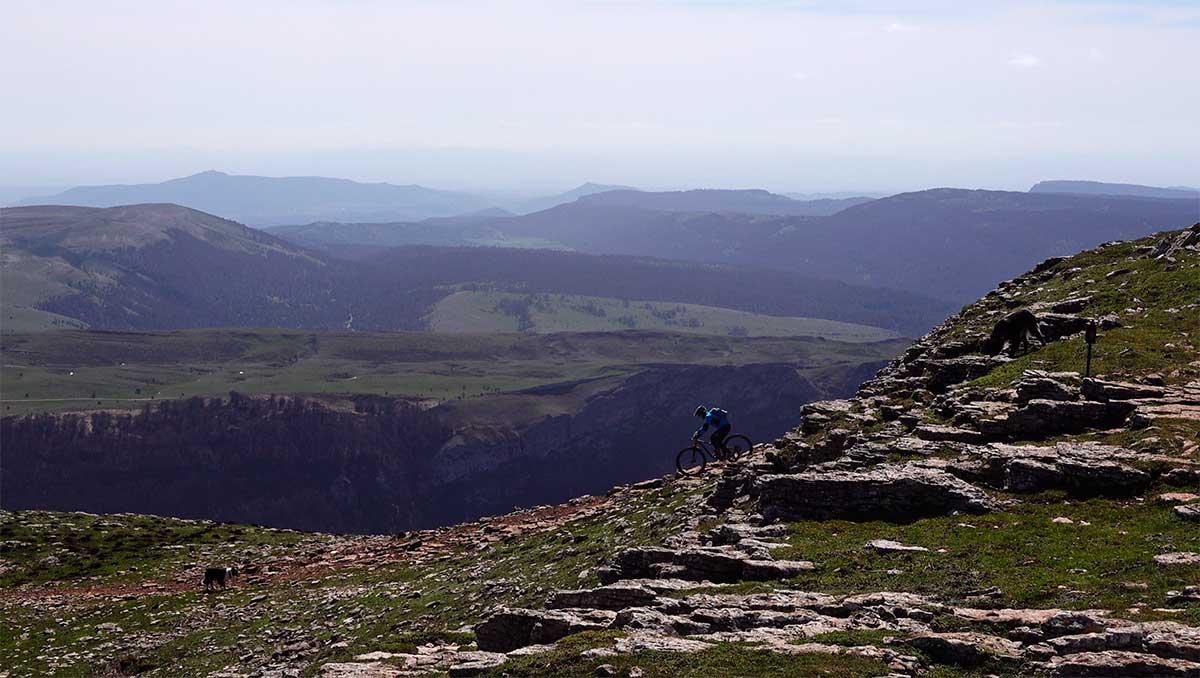
Lekunberri - Irurtzun
Basaburua A tope!
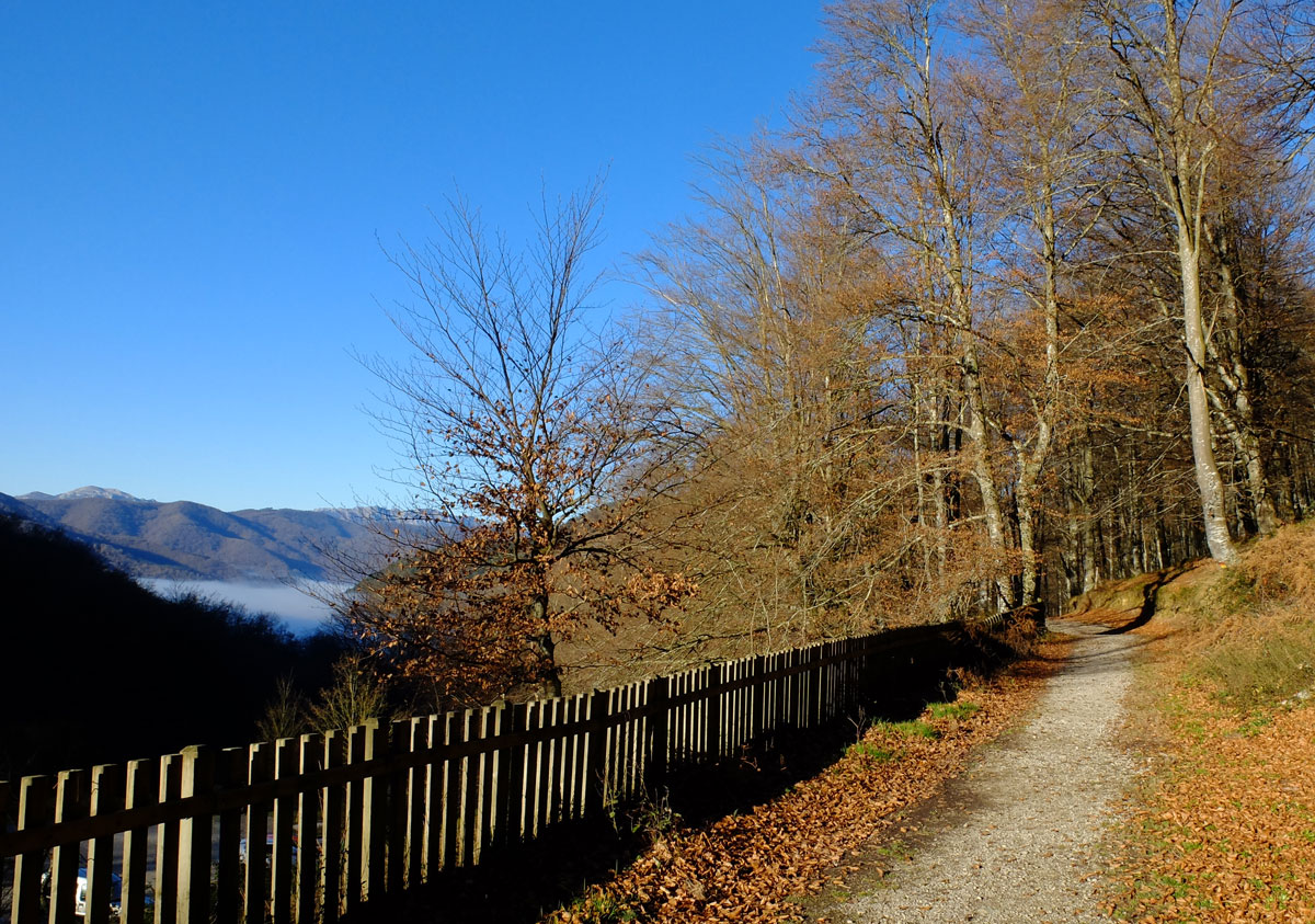
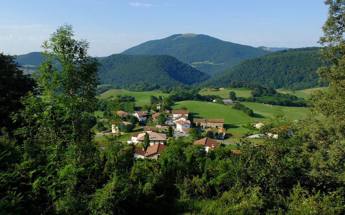
Between the Sierra de Aralar in the east and the Pyrenean forests of Quinto Real in the west, there is an intricate succession of low-altitude mountains crisscrossed by small valleys and gullies with more of a stream than a river. The usual sequence that we will repeat throughout the kilometres of the route will always be the same; Forest-Prado-Pueblo and I go because it is my turn...
Larraun Valley, Imotz, Atez, Ultzama, Basaburua, Selva de Anué... this is the toponymy that dots a territory in which in recent years efforts have been redoubled to facilitate the practice of mountain biking by some local authorities, something that has exponentially increased the possible combinations of routes in the area.
In this stage, specifically, the most relevant singletrack sections that we will travel through in the central part of the route come from the efforts of the BASABURUA Mountain Bike Centre.

Circular Lekunberri
Leitzaldea, MTB silencioso

THE ROUTE IN DATA
What you could feel!
- Stage V
Irurtzun - Arbizu - Stage A
Arbizu - Lekunberri - Stage W
Lekunberri - Irurtzun - Stage Y
Circular Lekunberri
Irurtzun - Arbizu
La cima de la Sierra "Grande"
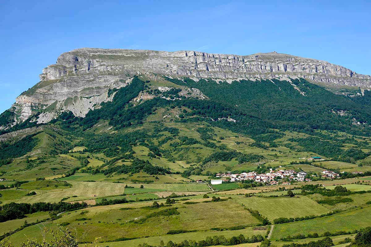
La cima del Pico Beriain con sus 1.495 metros de altitud es una de las montañas ciclables más elevadas y emblemáticas de Navarra.
En la foto inferior, la montaña rellena el horizonte detras de los ciclistas. En este caso, una cima de las que no se olvidan.
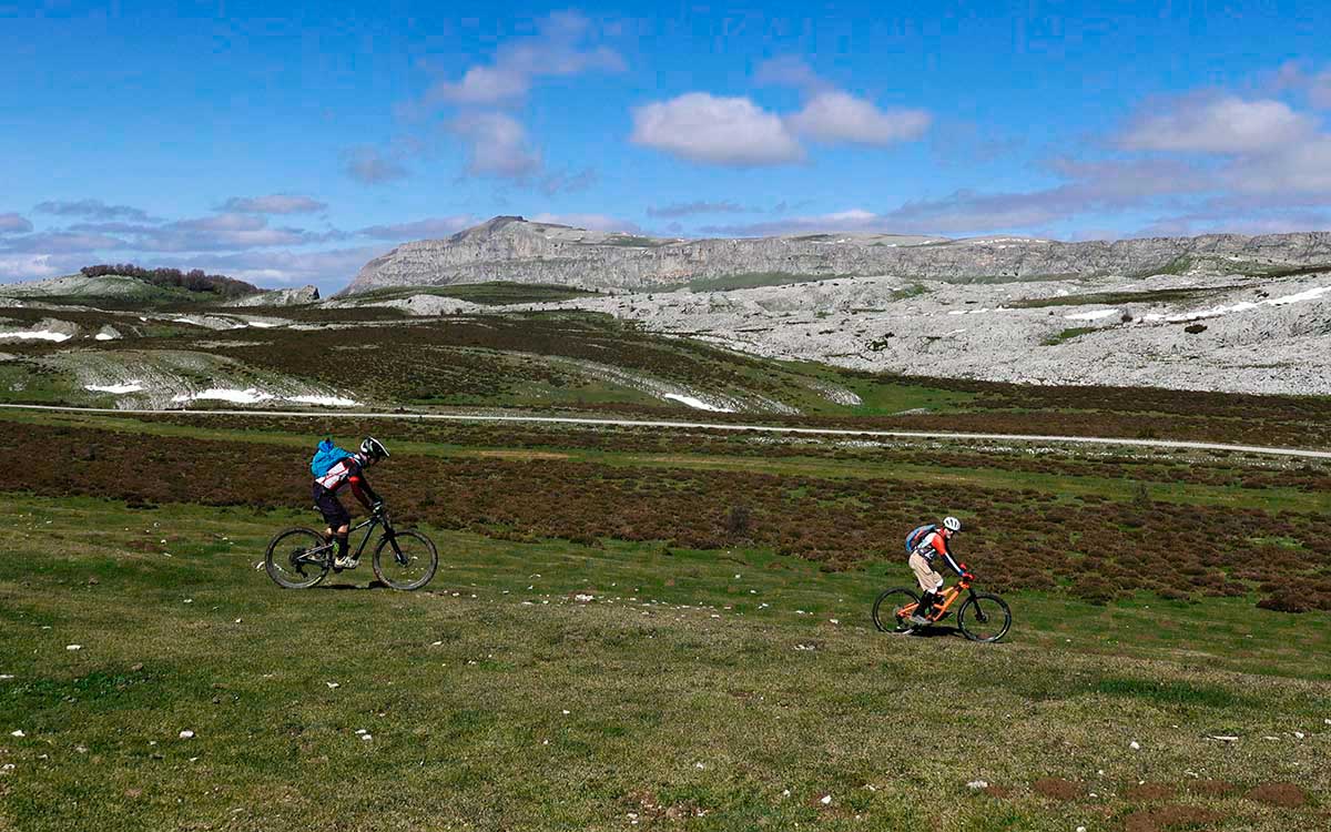
Constantes sube-bajas por lo alto de la Sierra de Andia
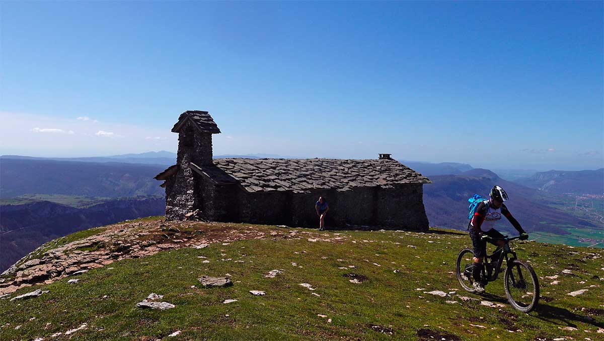
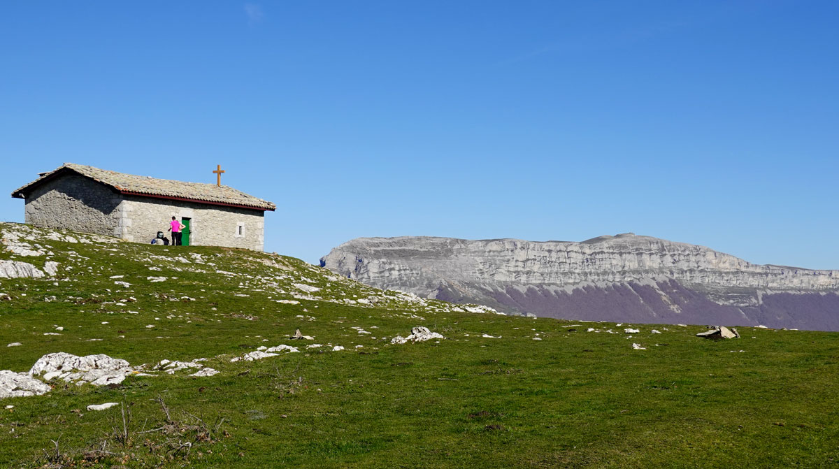
Un descanso en el camino y ermita de San Donato, ya en los 1.495 metros de la cima del Beriain.
Comienza el descenso, cada loca con su tema.
Aforunadamente, todo lo que sube baja, largo, largo descenso hacia Unanua.
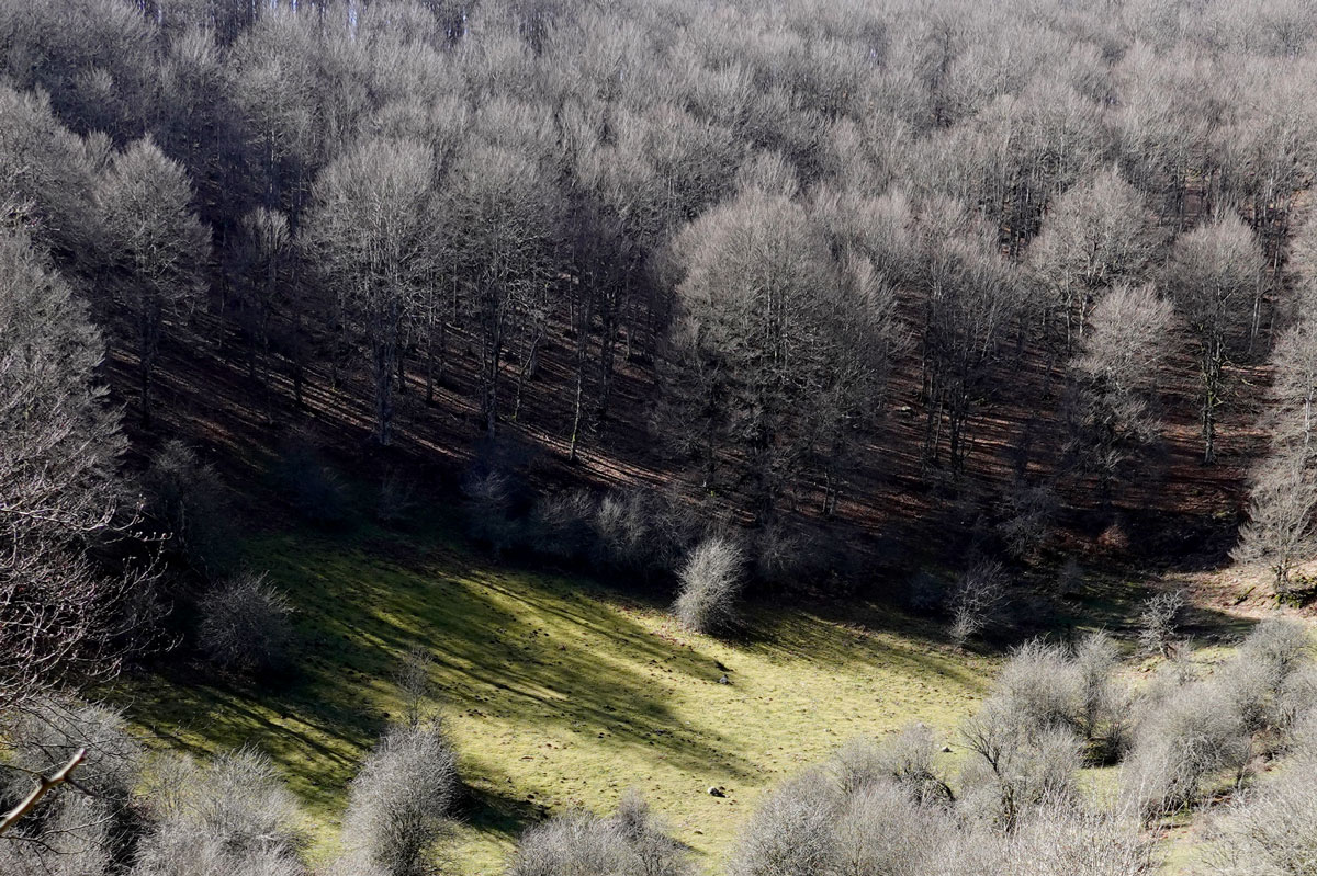
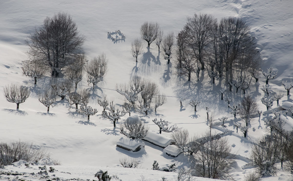
Arboles "invernales" en la Sierra de Andia.
Pistas de gravel en la llegada al Alto de Lizarraga, punto de descanso "oficial" en la etapa.
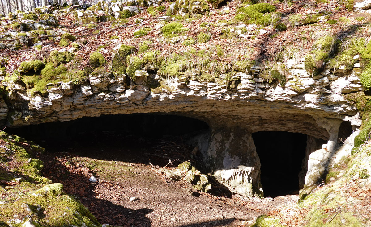
Cueva de Lubierri, rincones ocultos en la ruta.
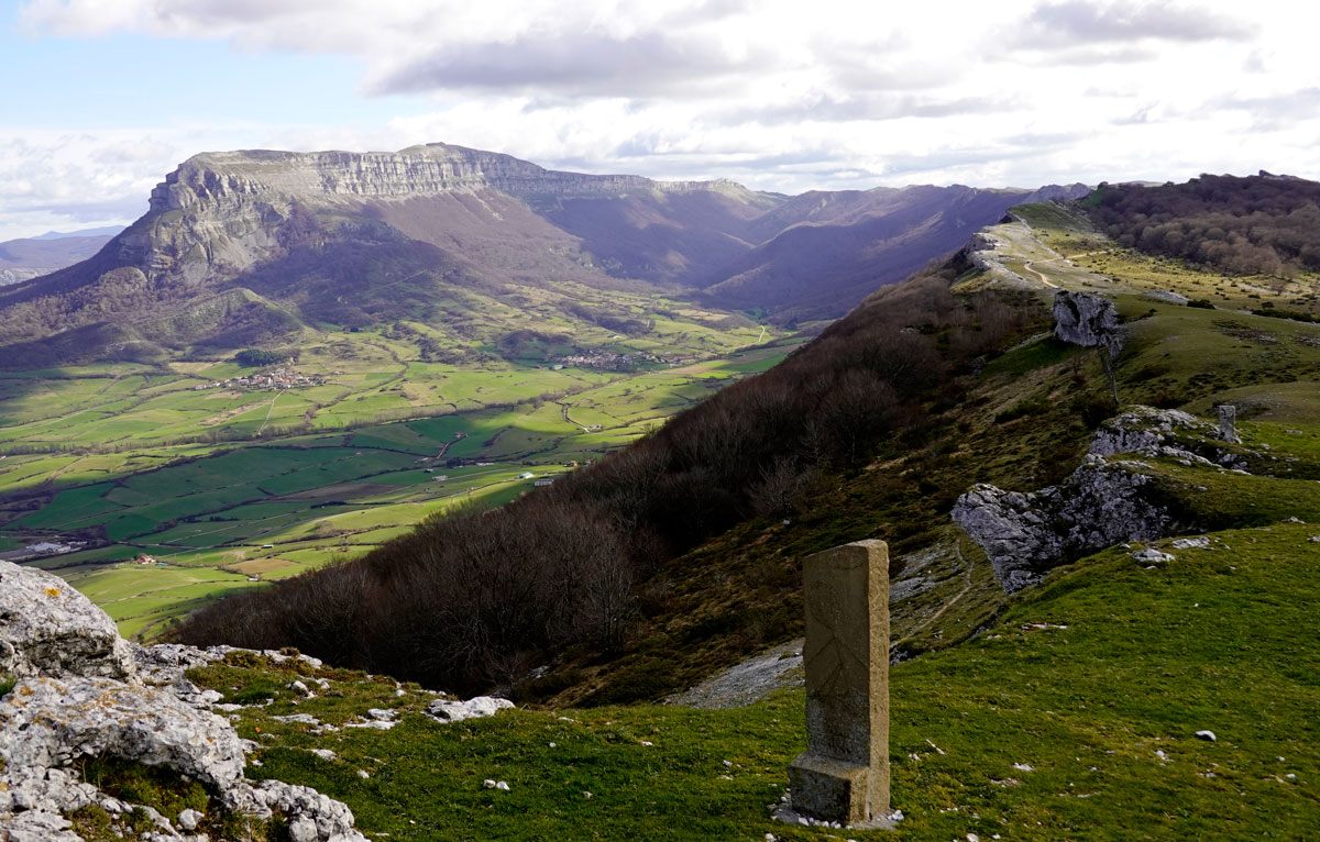
Ermita de San Adrián, mirador privilegiado sobre el Valle de La Sakana. Al fondo, la mole del Beriain va empequeñeciendose.
Arbizu - Lekunberri
Sierra de pastores
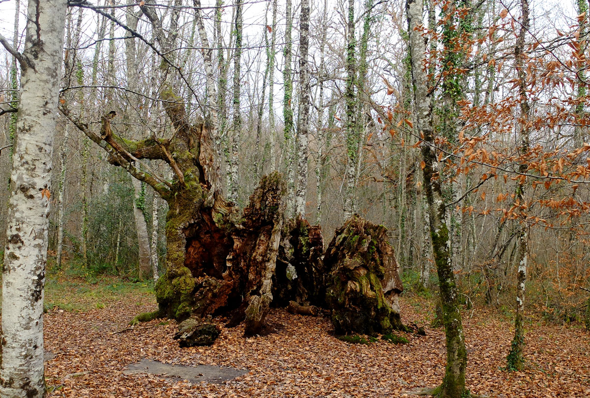
El sendero de Los Robles Milenarios da la bienvenida a BASOAK ya en el inicio de la etapa.
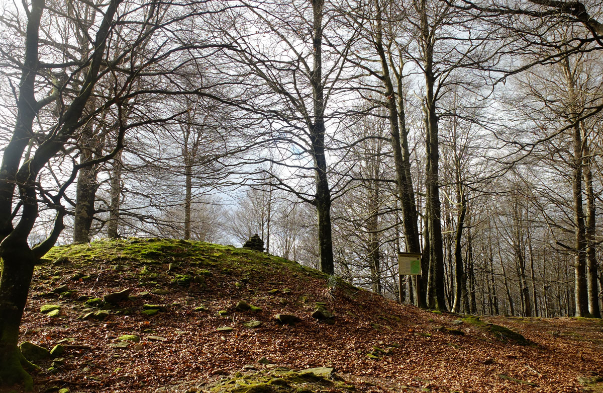
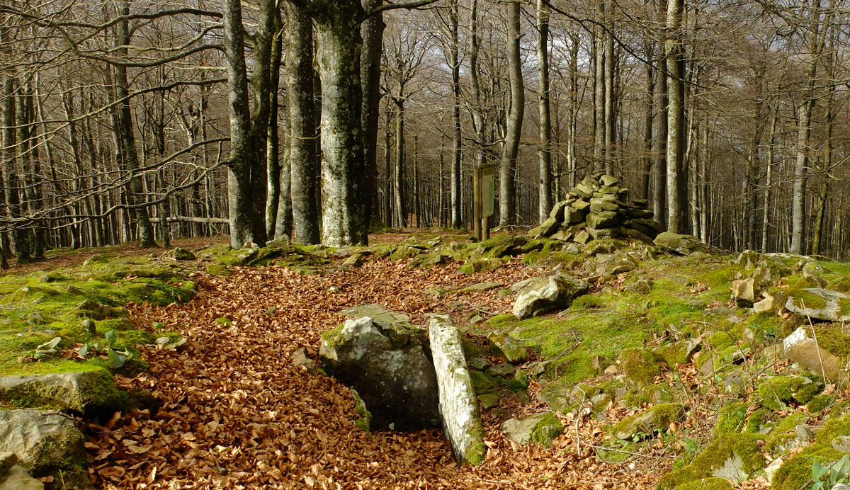
Túmulo dolménico en la cima del Txaradigorri.
En el Alto de Lizarrusti entramos ya en la Sierra de Aralar.
Embalse de Lareo.
En alguna ocasión deberemos empujar la bicicleta, pero lo habitual será fluir.
Majadas pastoriles de Pikuta.
"Tapón" de ciclistas en el roquedo.
Otro momento, el mismo lugar. Majadas pastoriles de Oidui.
Senderos serpenteantes en las Majadas pastoriles de Oidui. El pantano de Lareo va encogiendose en el bosque.
Refugio de Igaratza, parada obligada, se acabo el subir.
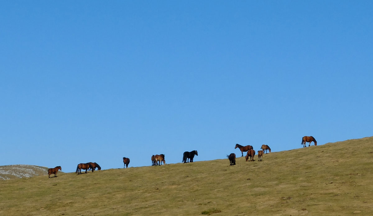
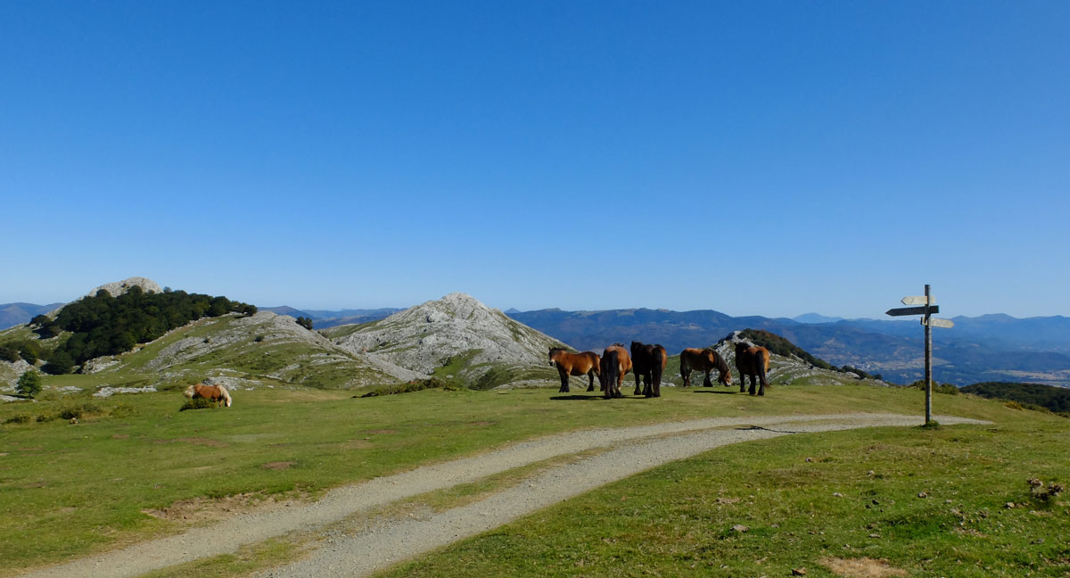
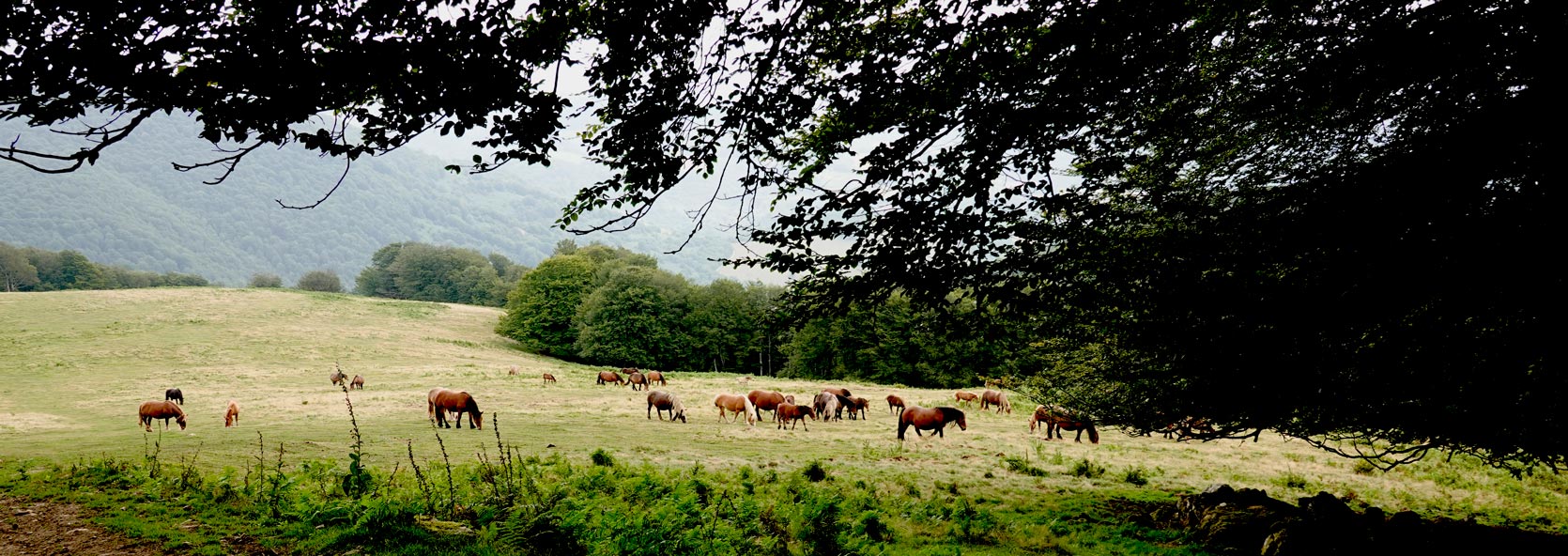
Caballos en Desaomendi, 1.306 metros, el punto más elevado de la etapa A.
La ralla de BASOAK corta las laderas de Aralar. La Sierra de Aizkorri y las montañas del interior de Gipuzkoa cierran el horizonte.
Pedalear relajado en las campas de Unakoputzua.
Vamos cambiando de valle y el Pirineo Navarro comienza a ocupar nuestro horizonte.
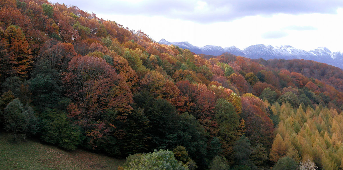
Descenso hacia Lekunberri. Si la nieve pinta las cumbres de las Malloak de Aralar, la temporada ciclista en BASOAK MTB esta llegando a su fin.
Lekunberri - Irurtzun
Basaburua A tope!
Comienza la etapa W y la Sierra de Aralar comienza a convertirse en horizonte.
Ya en los primeros kilómetros el bosque -BASOAK- toma el protagonismo de la etapa.

BASABURUA; bosque y bosque.

Yeguas en las laderas de Ernaizu.

Descenso por Lauburu, último singletrack de nuestra "Trifásica Basaburua", un encadenamiento de 3 de las más populares líneas del Centro de BTT BASABURUA.
Etxaleku, pueblo "tipo" en el Valle de Imotz. Lo atravesaremos en los kilómetros finales de esta etapa W.
Circular Lekunberri
Leitzaldea, MTB silencioso
EN PREPARACIÓN
THE ROUTE IN PICTURES
Expect to feel it!
OUR LODGES
The half of the Trip
- Lodging for stages with start in Irurtzun
- Lodging for stages with start in Arbizu
- Lodging for stages with start in Lekunberri
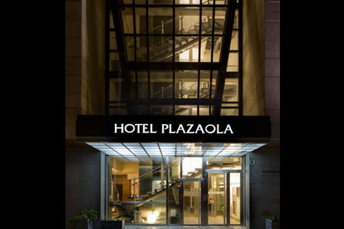
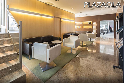
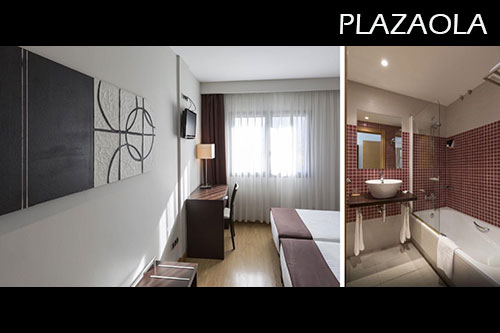
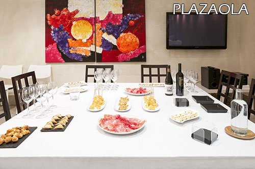
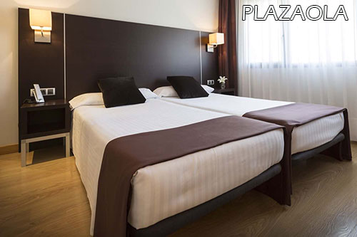
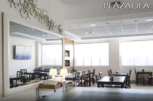
Hotel Plazaola 3*
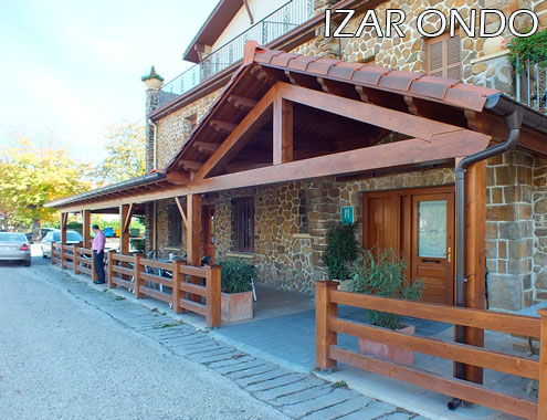
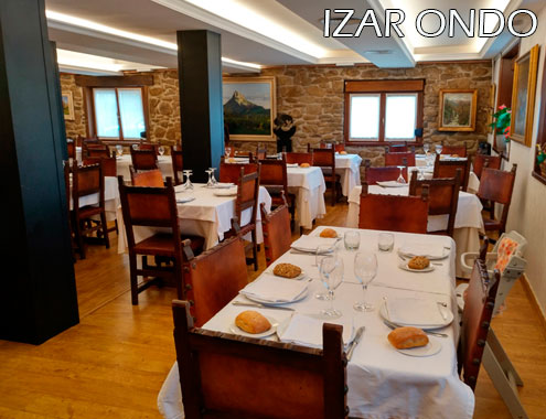
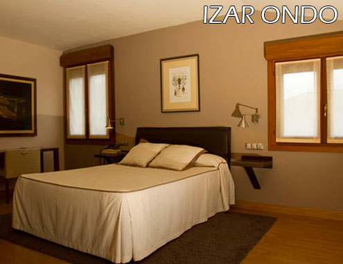
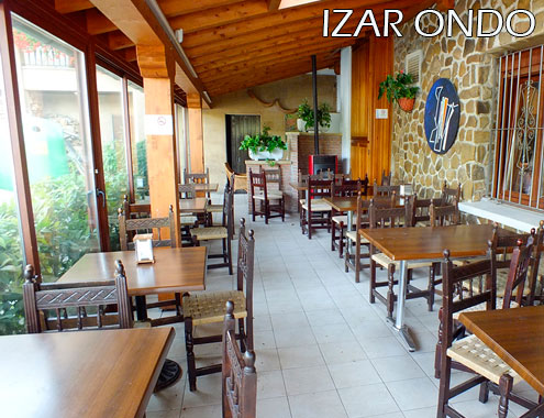
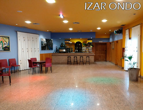
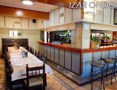
Hotel Izar Ondo
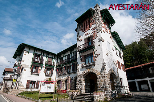
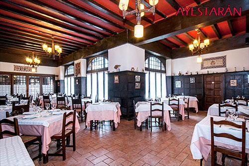
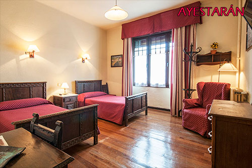
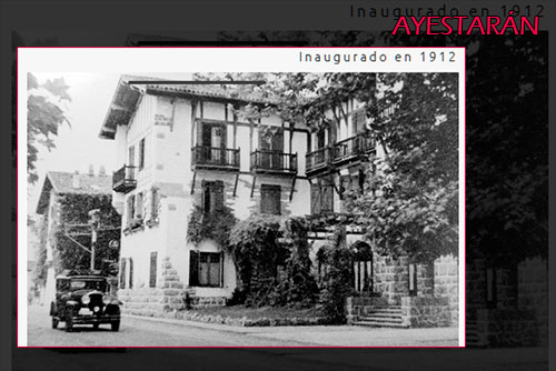
Hotel Ayestaran

- Important -
In the rural world that our routes run through, hotel establishments are usually small. It is often difficult to book the sequence of accommodations necessary to complete a Pack, especially if the number of participants in a group is a bit high.
Booking in advance is often the key. It is not a commercial trick on our part. Many times, that reservation with enough time in advance is simply the difference between being able or not being able to reserve the Pack.

The structure of BASOAK MUGA OESTE is based on a core route of 3 point-to-point stages -V, A, and W- and 1 optional circular stage Y.
3 Stages / 3 Nights
364 € Price per person for groups of 6 or more people
380 € Price per person for groups of 5 people
370 € Price per person for groups of 4 people
420 € Price per person for groups of 3 people
416 € Price per person for groups of 2 people
594 € Price for a single person
Single room supplement: 106 €
When the group consists of an even number of people, an even number of applications will also be necessary to access this supplement.
4 Stages / 4 Nights
3 stages point to point + a circular one (stage Y) in Lekunberri
484 € Price per person for groups of 6 or more people
498 € Price per person for groups of 5 people
486 € Price per person for groups of 4 people
544 € Price per person for groups of 3 people
530 € Price per person for groups of 2 people
744 € Price for a single person
Single room supplement: 144 €
When the group consists of an even number of people, an even number of applications will also be necessary to access this supplement.
Add night at the end of the route
And you can add a Night with Breakfast at the end of the route -in the same hotel where you started it- for 48 € per person in a double room or for 76 € in a single room.
In these proposals when the groups are odd, the accommodation is offered in double rooms and a single room.
- TRIPLE ROOMS ARE NEVER USED -
If you want the price of the Pack to be cheaper, perhaps we can lower the level of one of the chosen hotels. And also, if the number of participants is odd; request a triple room.
- This management is only done once the Pack has been contracted -
Rates for the whole year, subject to availability.
The prices may vary when the dates coincide with the Easter holidays or with the Patron Festivities of any of the places of accommodation.
- As many nights of accommodation in Hotel as stages have the Pack
The 1st in B&B and the rest in Half board - Shower and luggage reception at the end of the last stage despite you don’t spend the night at the finalising point of the route
Transport of luggage between hotels
1 bag or package of a maximum of 20 kg per person
If not needed, the cost of this service will be deducted from the proposal- Tracks of the route in GPX format for mobile phones or GPS devices and printed map with each day routes options
- Explanatory printed map-sketch of the different route options for each stage
One per stage Download sample - Link to services that may be necessary along the route
- Presentation of the route and delivery of information in hand the day of the arrival of the group to the hotel or the morning of the next day when groups are of 6 or more people
- Telephone assistance for incidents or consultations during the days of the contracted activity
- Beers or other consumptions outside the proposed menus in the dinners or during the stay in hotels
- Meals in restaurants at the time of the noon, unless it has been agreed previously to replace dinner with meals
- Any kind of sports material, helmets, shoes, etc
- Mechanical Assistance during the activity
If possible, we will try to help you in case of a breakdown, but in many situations this help can be very limited due to lack of specific spare parts or other circumstances. The cost of the service if it can be done is € 18 per hour + € 0.40 per kilometer. - Anything not expressly indicated in the offer
- Airport/station pick up
We put you in contact with the transfer companies that provide these services. We do not include its cost in our proposal. - Bicycle rental
We put you in touch with a rental service in the nearest place to the route start point - Hire Asistance / Accident Insurance
and / or Trip Cancellation Insurance
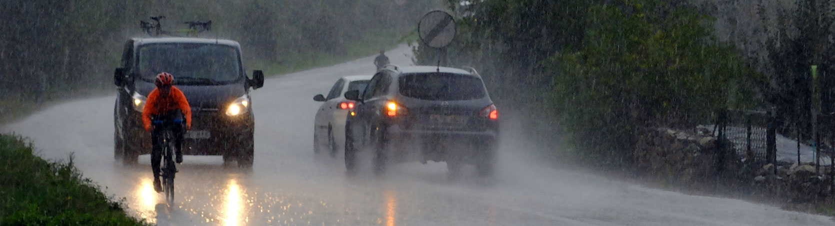
- Best time to go: The route can be done once the snow disappears in the highest mountains of the route. From there, we dare not say that one era is better than another. It really depends on the specific weather of the days we choose.
Do not underestimate the weather, not even in the middle of summer. The conditions -especially in the Pyrenees- can be identical to those of the Central Pyrenees. To summarize... our advice is: bring even the long culotte and if it doesn´t come out from the suitcase, all the better.
In summer it is necessary to be aware of the possibility of storms -frequent in the afternoons-. - Type of tracks: Paths and tracks with more physical than technical demands, both uphill and downhill. The "singletracks" selected from the MTB Centres through which the route passes are usually blue level. Sometimes they can be red, but it is always a temporary and avoidable difficulty. To summarise, we can say that the aim is to make the paths have "flow" while avoiding the "enduro" concept as much as possible.".
For technically demanding sections - which sometimes exist - when possible we offer alternative tracks, although the easiest way to avoid distorting the route is to get off the bike. - Ideal bike: Preferably a dual suspension MTB bike.
- Orientation: The route must be followed with a GPS device or with the mobile phone App that you are used to using for the same purpose.
It is not advisable to try to learn how to use an App on the fly.
We do not provide Apps or GPS user manuals. It is up to the users to have this knowledge.
There is no on-site signage. - Ciclability: Depending on the technical skills and strength of each person, the route is 98%.
- Provisioning: Although we sometimes find refreshment points, depending on the time of year we may find that some establishments are closed. The documentation we provide at the start of the route provides information on the options at each stage.

Related Tours