ASFPALT
moderate
Distance: 86km Unevenness: 2000m
Tours through the best of the Basque Pyrenees.
Routes in which you will find variety of habitats from the high mountains in central ports to the humanized terrain of the low plains.
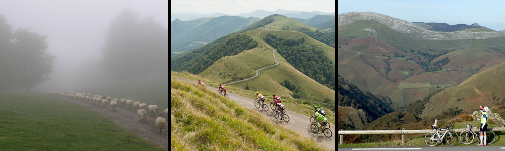
Artzaiak... Shepherds... it is a simple recognition, homage would be saying much, to this social group which during thousands of years has been interacting with the environment, creating the landscape we now see. Past and present, be taken into account, as for bikers (who is those to whom these routes are directed), this present can materialize in form of a white Citroen C15 followed by a dog (sheepdog, of course) suddenly emerging in any travel curve. For all that, Artzaiak (which means shepherds in basque).
We have included under the name of Artzaiak a series of routes that are developed in the same geographic space and that in a nutshell are modifications of the same idea so in this way it is possible to choose the difficulty of each different route.
For a better understanding of the possibilities, we have used the diagram of clothing sizes that more or less everyone understands; S, M, L and XL.
In general, the aim is to go over the Arbailles massif, which we will ascend by Ahüski, and the northern slopes of the Irati forest where we will place ourselves either ascending by Burdinkurutzeta or Artaburu. The closing will be through the ramps that touring the Valley of Sainte Engrace will end up leading us to Arette by Issarbe.
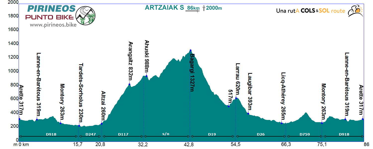
Itinerarie: Arette D918 - Tardets-Sorholus D247 - Altzai D117 - Ahuski - road without nº - Bagargi - Larrau (village) D26 - Athérey D759 - Montory - D918 Arette
If you want to see the route on wikiloc website click on the green icon on the map.
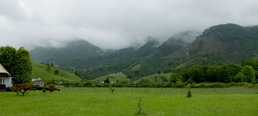
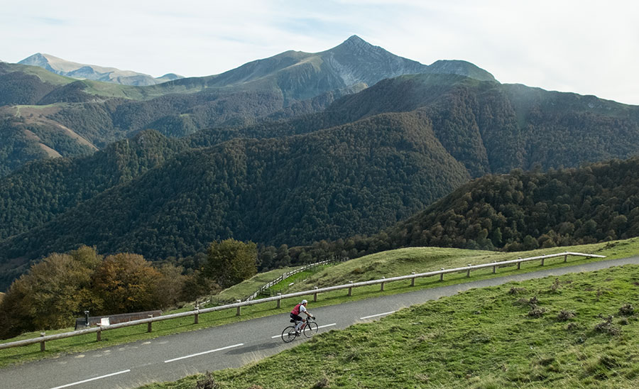
Alrededores de Arette. El campo base perfecto para practicar cicloturismo en el Pirineo Atlántico.
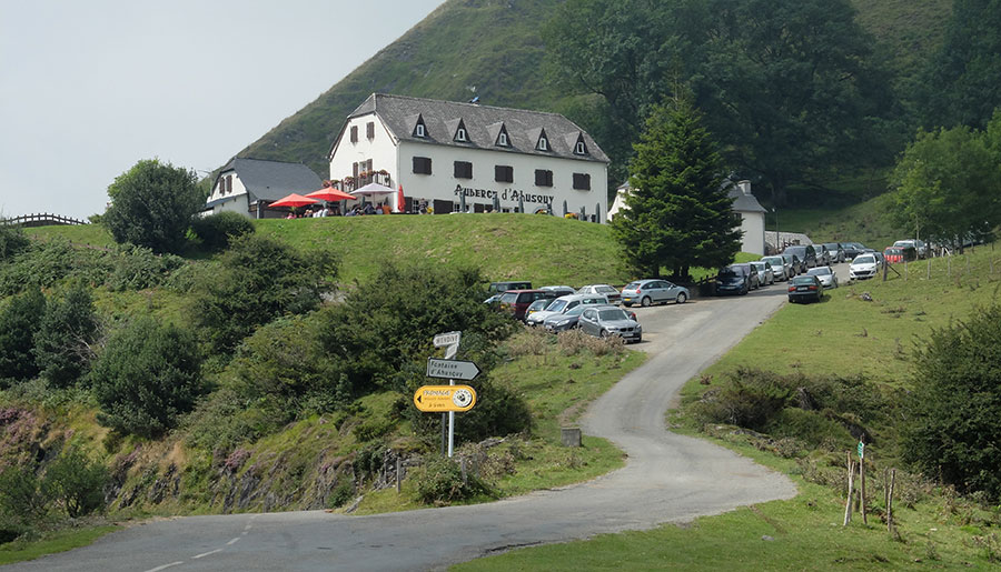
Albergue de Auski, a medio camino en nuestro ascenso a Bagargi.
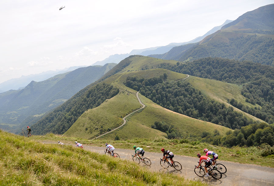
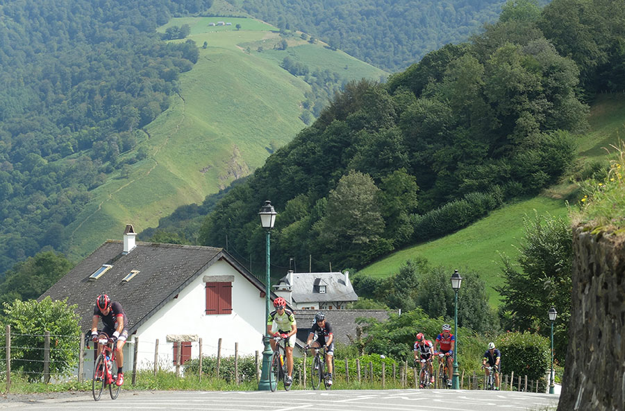
El pelotón de La Vuelta a España 2016 desciende el puerto de Inharpu/Ahuski hacia Altzai. Artzaiak continua por la carretera que se visualiza por el cordal buscando Bagargi.
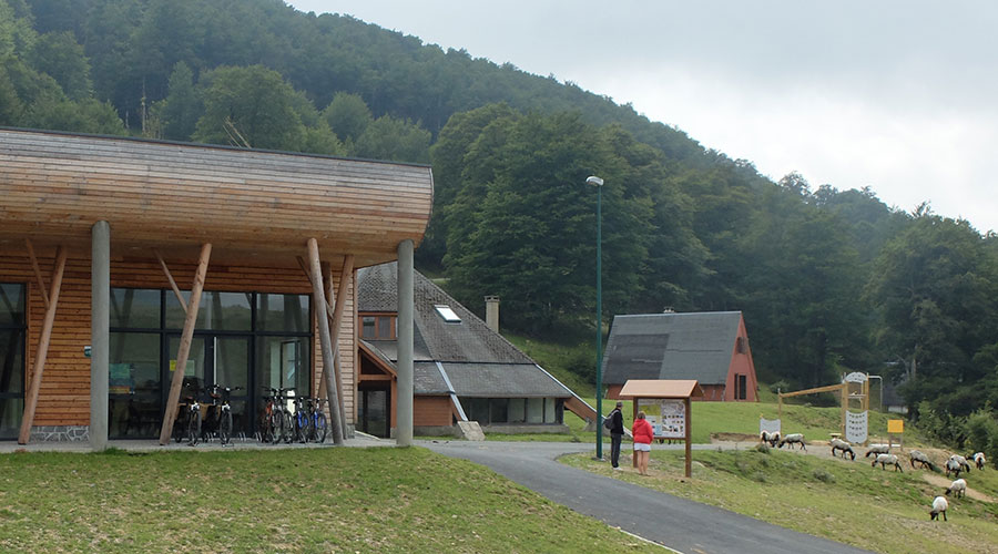
Casas de Irati, practicamente en la cima de Bagargi.
Puerto de Bagargi en su vertiente hacia Larrau. Al fondo, el Pico de Ori con el paso de Erroimendi a su izquierda.
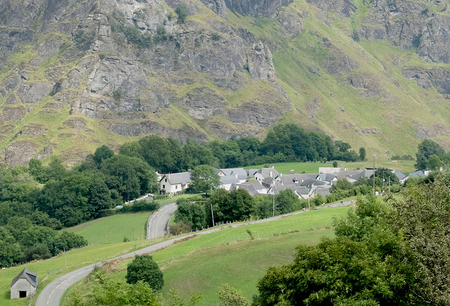
Pueblo de Larrau, bien integrado en la montaña pirenaica.
Rampas entre el puente de Laugibar y el pueblo de Larrau. En nuestra ruta nos tocará bajarlas. -Cicloturista Larra-Larrau 2016-
We are where we are, in the Atlantic Pyrenees, with a plain to the North with localities at very low altitude and ports that are close to the 2000m range.
The southern slope is more "human", towns are in a higher altitude and the slopes are not so important.
The vast majority of the routes cover the ports of the "greats": Issarbe, La Piedra de St Martin, Laberouat, Bagargi, Artaburu, Arnostegi, Ahuski, Larrau...with slopes ranging between 1000 and 1700 meters. Some routes ascent one of these ports, others 2 or 3 and even more.
We anticipated this so the criteria are clear for each 6 levels that we have chosen for the ranking of the routes.
- Walks or family routes: Routes with light slopes and little travel. Suitable for untrained family groups or for people who usually don't use the bike.
- Easy: Routes with a slope that can reach 1000 meters but facing none of the large ports.
The distance will range between 40 and 60 kilometers. - Moderate: Routes with one of the "great" ports or a combination of similar difficulty. The slopes can be really important and slopes can range between 1000 and 2000 meters.
An example of "moderate" is the Artzaiak S stage through Bagargi. The port is tough, but it is the only major difficulty of the day, i.e. we have the whole day for this task, that’s why we left it in "moderate"..
The distance will vary between 60 and 100 kilometers. - Hard: Routes with a slope ranging around 2500 meters. There may have to ascend 2 ports of the "greats" or one and several of the "minor".
The distance will vary between 90 and 130 kilometers. An example of how difficult it can be, will be the short route of the well-known Larra-Larrau. - Very hard: Routes ranging from the 2500 and 4000 meters of altitude. Sometimes there may have to ascend the 3 ports of the '' greats ''. The distance will exceed the 100 kilometers and may reach the 200.
The long route of Larra-Larrau is one of the exponents of how difficult this route is. - Challenge: In these times there is a public that demands "more" yet. To them arises the concept of "challenge": stages of more than a day in "non-stop" mode, 4500-5000 or even more meters of altitude routes, individual or group time trial with 3000 meters of altitude and over 100 kilometers of route.
Finally, a variety of what riders would usually call "nonsense" which to be more elegant, here we call it, 'Challenges'.
 Return