BASOAK MAGIC LINE


MTB route through the BASQUE Mountains and the PYRENEES of Navarra
Bike trips from 7 to 12 stages of mountain biking through one of the most forested areas of EUROPE
IF YOU ARE LOOKING TO GET LOST, YOU ARE ON THE RIGHT TRACK
SELF GUIDED ROUTE WITH GPS
THE ROUTE
What is BASOAK MAGIC LINE?
To begin with, and to get our bearings, we must place ourselves in the PYRENEES, the mountain range located between Spain and France and which separates the Iberian Peninsula from the rest of Europe.
The westernmost geography of the PYRENEES and the foothills where they become either the Basque Mountains or the Atlantic Ocean are the territory in which a series of modern singletracks and old paths "twist" together, giving rise to our BASOAK MAGIC LINE
...
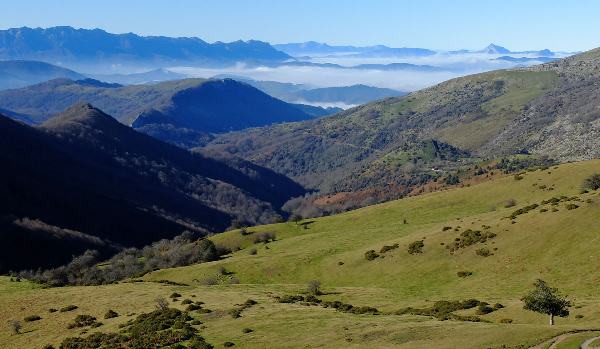
Emerging from the collision between the Iberian and European tectonic plates, the relative geological youth of the PYRENEES chain is altered near the Atlantic Ocean by a sequence of mountains whose age corresponds to a much earlier geological time. This characteristic gives rise to a hilly geography - simply more eroded by the elements - and currently covered by an almost uninterrupted sequence of forest and meadow, which generates what we could summarise as an ideal "ecosystem" for mountain biking.
The route, which in its most complete and demanding version can reach 700 kilometres, follows an arc from west to east that begins in the low areas of the Cuenca de Pamplona or Tierra Estella and ends in the Roncal Valley already fully in the PYRENEES.
In between, a long series of mountain ranges, valleys and regions will have been left behind. Their toponymic sound will help to leave an impression in the memory despite the difficulty of the Basque language in which almost all of them are named; Urbasa, Aralar, Basaburua, Baztan, Quinto Real, Roncesvalles, Selva de Irati, Roncal... just to name a few...
The experience offered by PIRINEOS PUNTO BIKE consists, in broad terms, of a Self-Guided Tour pack. This includes Accommodations, the GPS Tracks for the route, a detailed map-sketch with alternatives for each stage, and Luggage Transport from hotel to hotel.
Speaking about bike style and in order to understand "where the shots go" in the BASOAK MTB UNIVERSE, we can say that overall these are stages with a considerable level of physical demand and moderate technical demands. We could summarise this by saying that we are not looking for enduro but we are pursuing "singletrack", the more "flow" the better. In some of the stages this is achieved better and in others worse.
Pretty much summarized, this is what it is. If you decide to come... Welcome to
BASOAK MAGIC LINE

We know that the LINES on the map above are confusing. It is necessary to know that BASOAK MAGIC LINE is not a single line, in fact part of its MAGIC lies in the possibilities we have designed to adapt it to different situations; such as different sporting levels of the participants or the most common of all; the impossibility of booking a hotel at any of the points on the route, a fact that we will have to solve by modifying the itinerary since the hotels at each point are very scarce.
...
Anyway, take into account that there is no itinerary that we can say is better than another. It is really difficult for us to decide which line to follow since whenever you have to choose, you lose something.
So, decide the number of stages, let us know if you have any specific preferences for stage end points so we can try to include them, choose the starting point, which can be either Pamplona as Irurtzun, Estella or Zudaire, and the rest will appear as if by MAGIC.
The dotted circles on the map above are circular stages that sometimes allow some of the members of the group to take a day of break while others continue the activity. If you think they might be useful for you, please let us know and we will try to include some of these circular stages in the final route track.
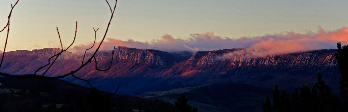
The antiquity of the Navarrese Pyrenees with respect to the rest of the mountain range is the cause of those soft and hilly forms -simply more eroded by the elements- that give way to the "potential" of BASOAK MAGIC LINE
- Basque Mountains
- Center of Basoak
- Atlantic Pyrenees
Zudaire, end of stage at the foot of the Urbasa Range.
Rounded top of Larraiza, beginning of descent to Las Améskoas.
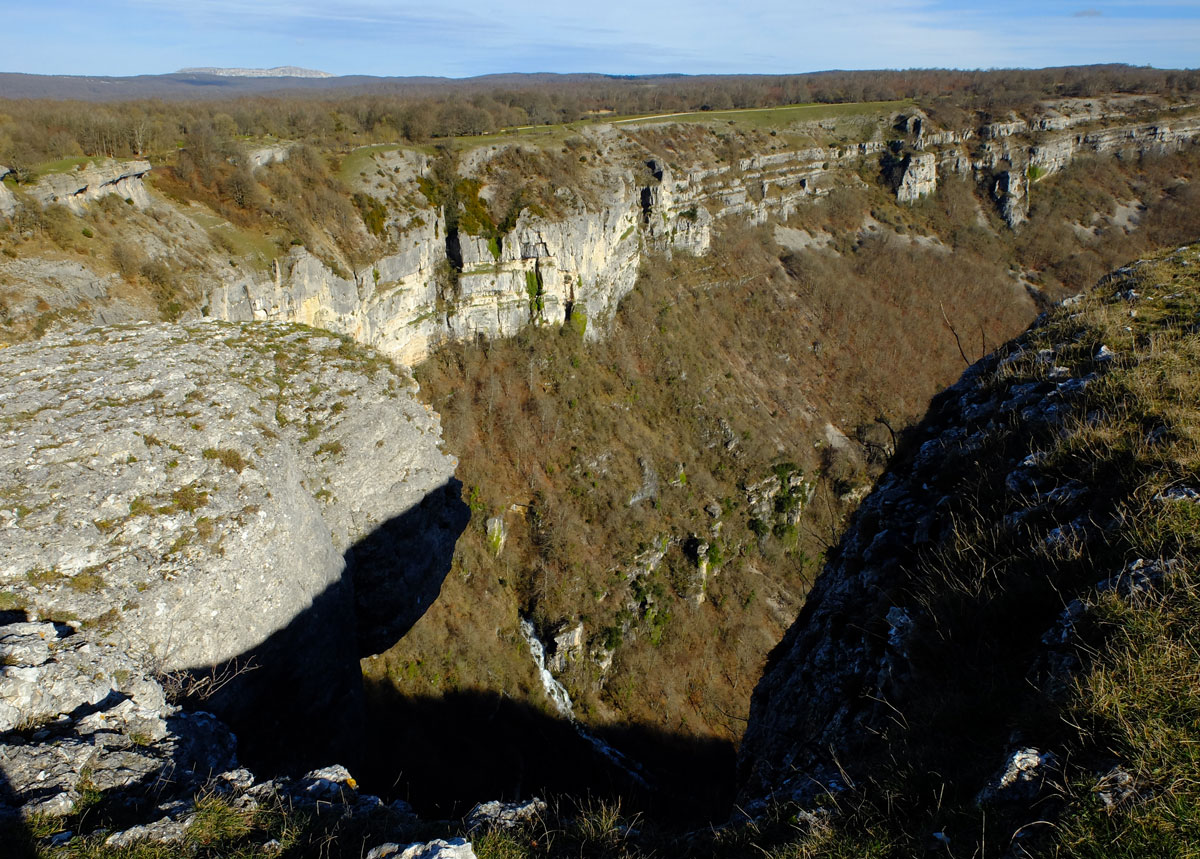
Ubaba, commonly known as Balcón de Pilatos, is undoubtedly one of the most photographed spots in Navarra. The spectacular viewpoint over the Nacedero del Urederra and Las Améskoas region leaves no one indifferent and justifies repeat visits at different times of the year.
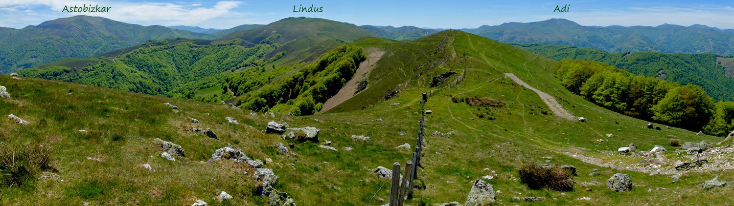
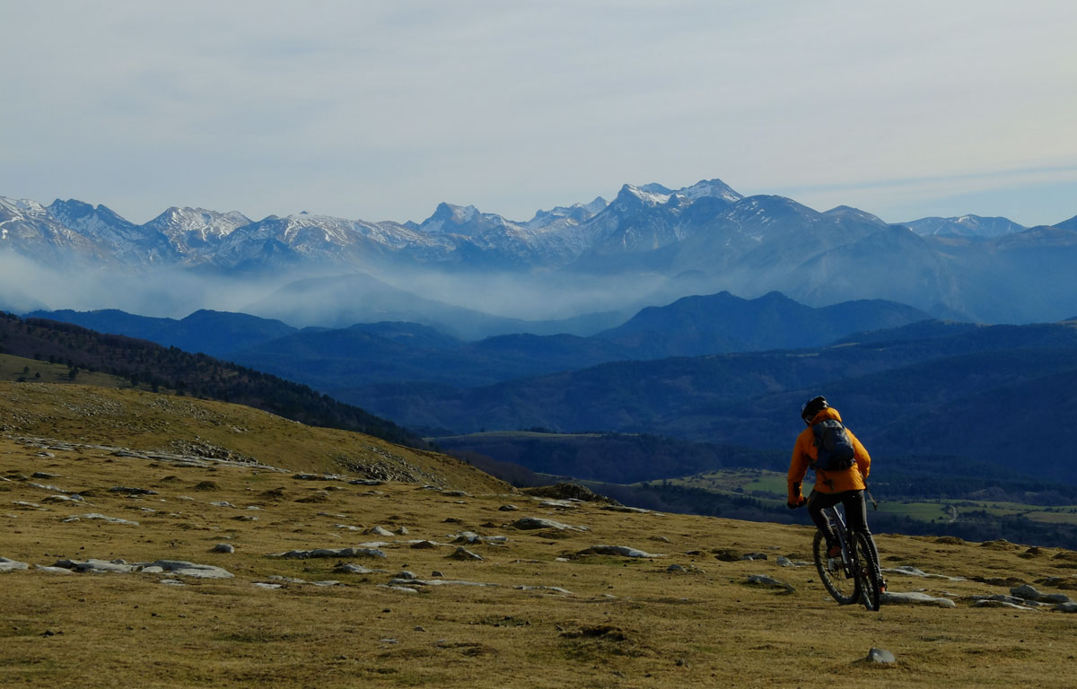
The BASOAK line cuts the slopes of Aralar. The Aizkorri Range and the mountains of the deep Gipuzkoa close the horizon.
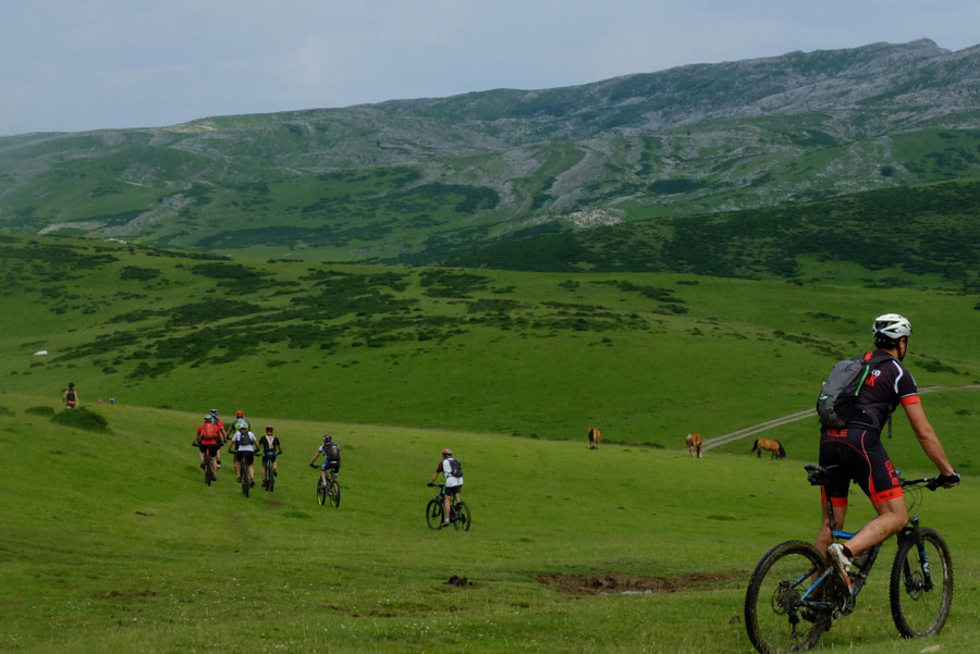
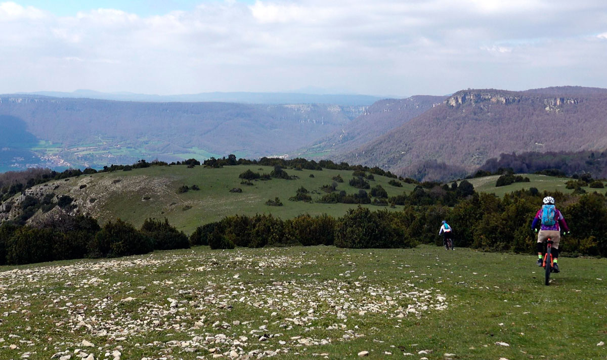
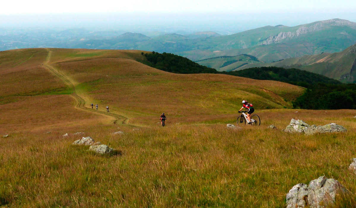
Relaxed Cycling in the Aralar camps.
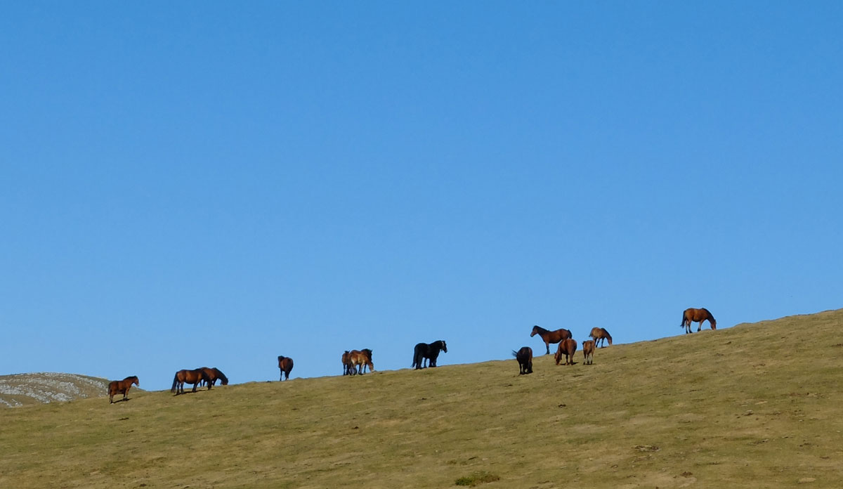
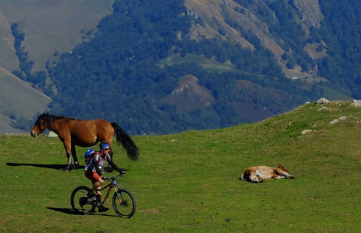
Horses in Desaomendi, 1.306 meters, the highest point of the Aralar stage.
Gorramendi Slopes. Prototype of the photography model that makes a Baztan landscape recognizable.
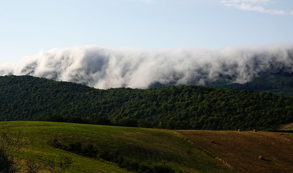
Cencellada, bunker of the P Line and Pirineum Navarrorum flow. Magic at BASOAK

Spectacle under the slopes of Mendiaundi mountain.

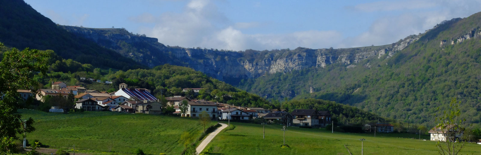
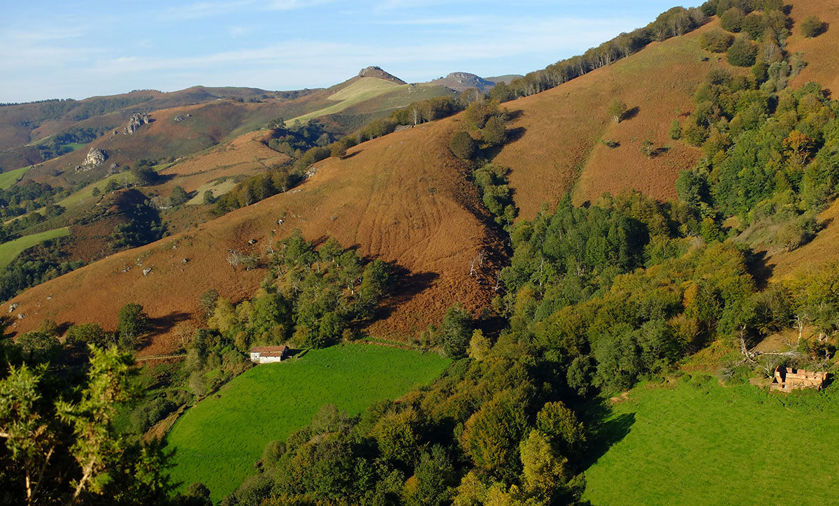
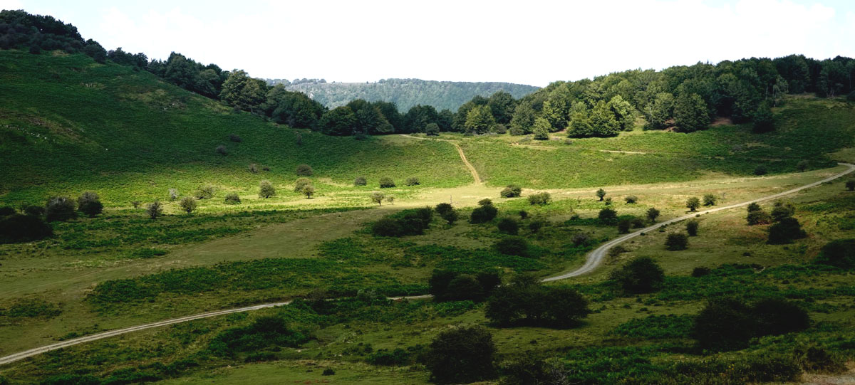
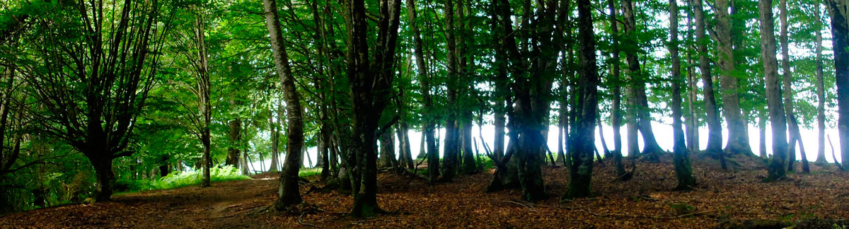
The sequence Forest-Village-Meadow is perpetuated all along the route.


Beigañe summit and start of the Sorgiñak line. We return to the area of influence of the Basaburua Mountain Bike Centre, with well-maintained trails and guaranteed fun.
Last rays of the sun in the mountains of BAZTAN.
Daily scenes on the slopes of Okabe Peak.
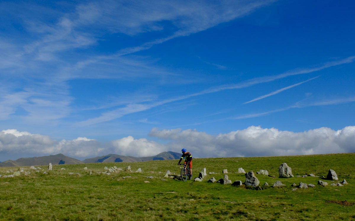
One of the most impressive megalithic complexes of the Pyrenees. The 26 cromlechs of Hilarrita in the vicinity of the top of Okabe.
Okabe descent, star moment of the day.
Slopes of Idorrokia peak.
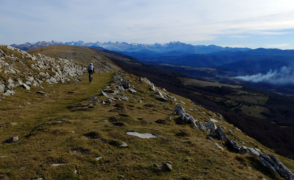
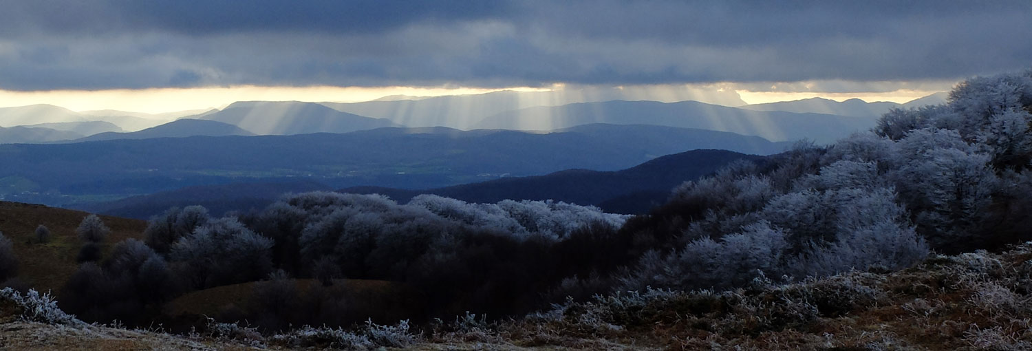
All-Mountain sections in the high mountains. Moments you'll never forget.
Abodi Hat at its finest during the return to Ochagavía via the Irati Sur.
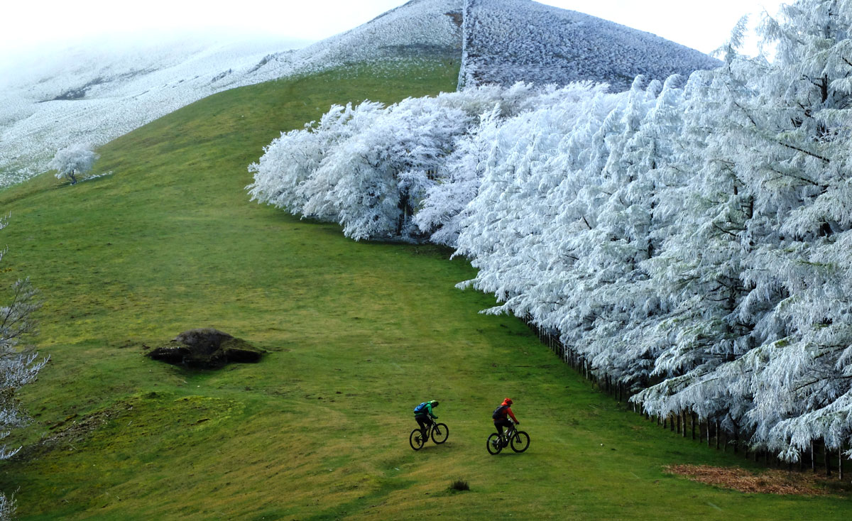
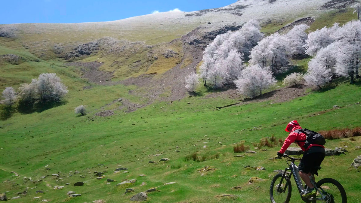
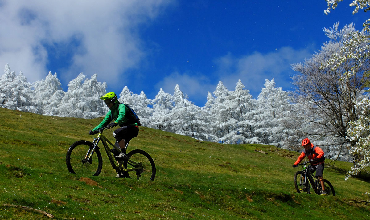
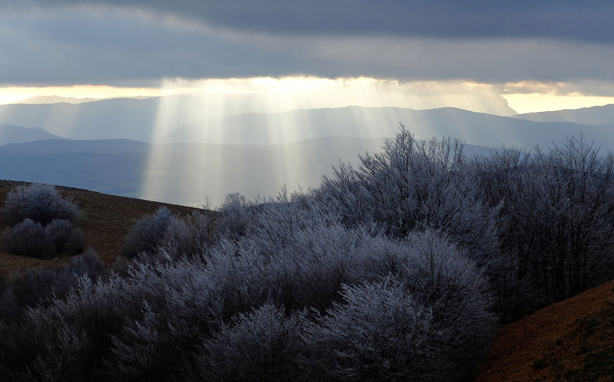
THE ROUTE IN PICTURES
Expect to feel it!


Total for the 7 stages option full trip
Distance 396 km - Unevenness 11.395 m


Total for the 9 stages option full trip
Distance 512 km - Unevenness 13.750 m


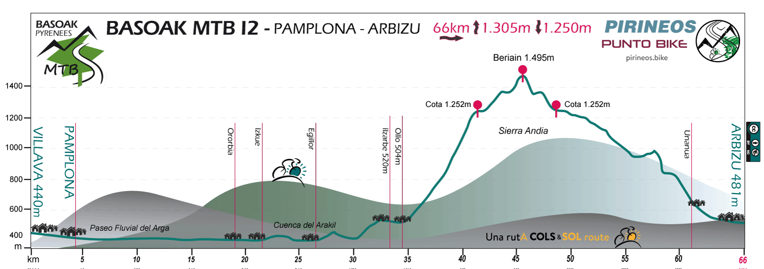
Total for the 12 stages option full trip
Distance 661 km - Unevenness 17.925 m
OUR LODGES
The half of the Trip
- Lodging for stages with start in Estella / Lizarra
- Lodging for stages with start in Zudaire
- Lodging for stages with start in Arbizu
- Lodging for stages with start in Lekunberri
- Lodging for stages with start in Ultzama
- Lodging for stages with start in Doneztebe
- Lodging for stages with start in Elizondo
- Lodging for stages with start in Zubiri
- Lodging for stages with start in Irati / Larraun
- Lodging for stages with start in Isaba
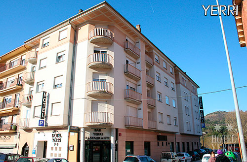
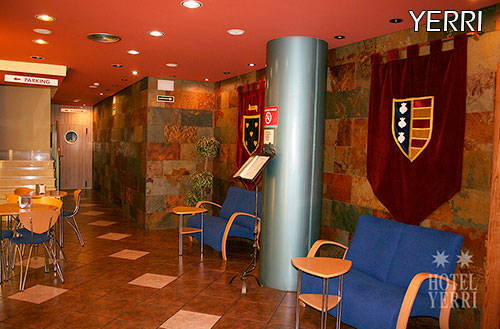
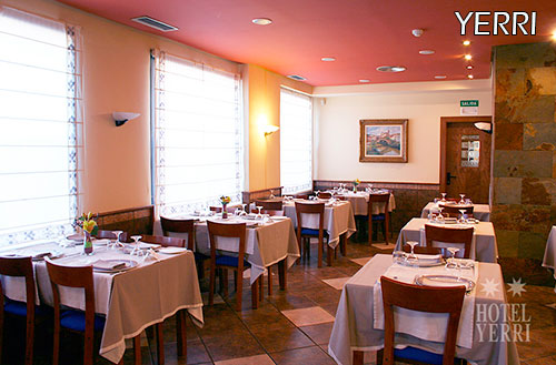
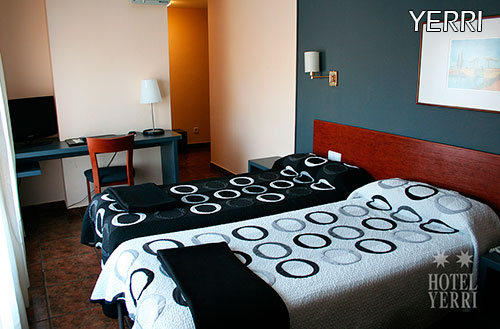
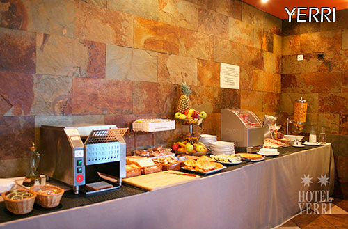
Hôtel Yerri - 2*
Our PUNTO BIKE in Tierra Estella is this 2 star hotel located a few meters from the historic center of "La Ciudad del Ega".
An establishment accustomed to dealing with cyclists due to the large number of events linked to 2 wheels that take place in the city.
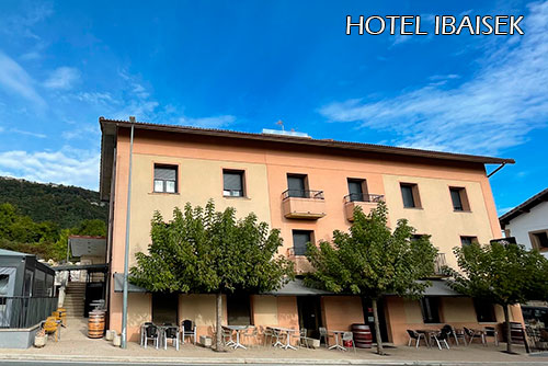
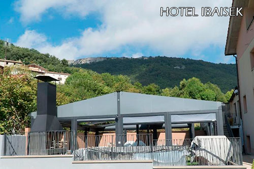
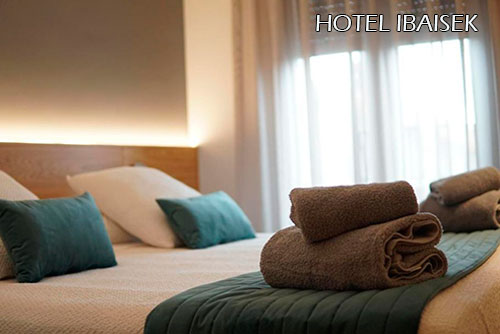
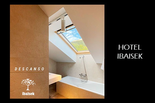
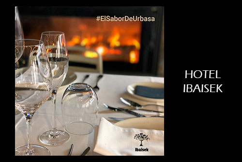
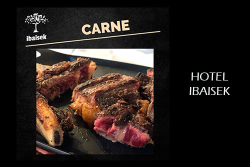
Hotel Ibaisek
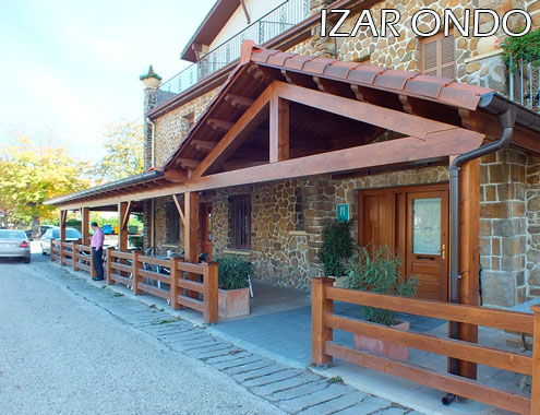
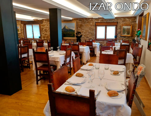
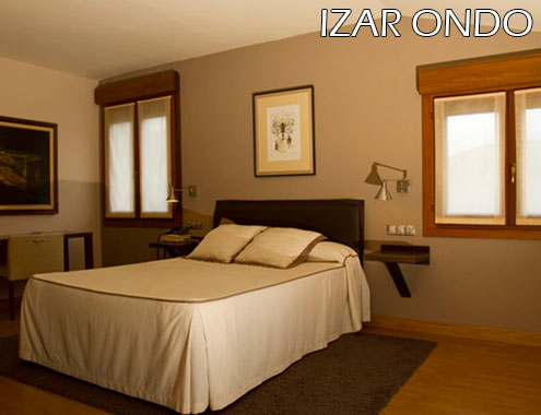
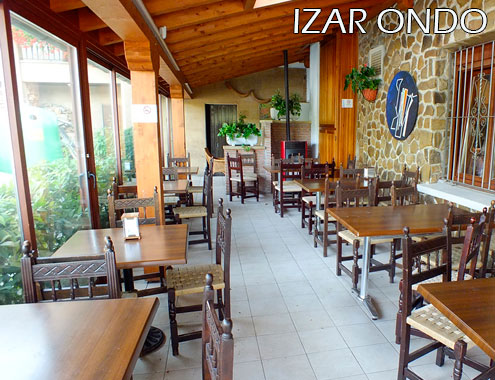
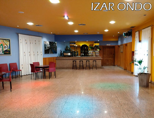
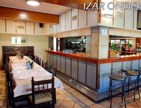
Hotel Izar Ondo
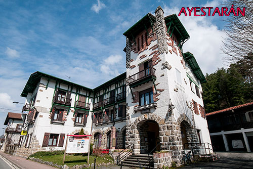
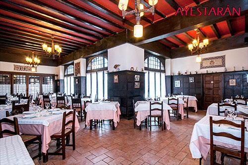
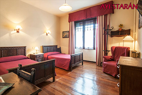
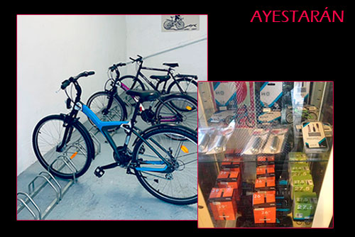
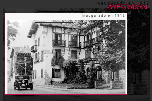
- Hotel Ayestaran -
- Hotel Mirador de Ulzama 4* -


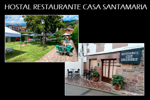
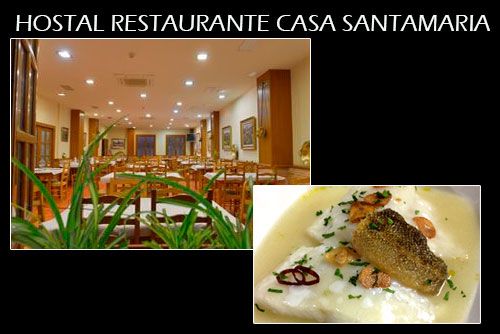
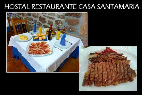
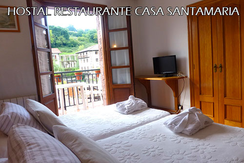
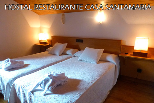
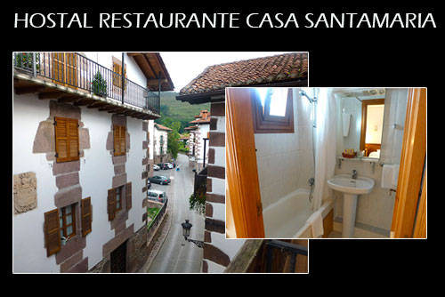
- Hostal Rural Santamaria -
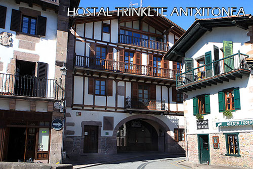
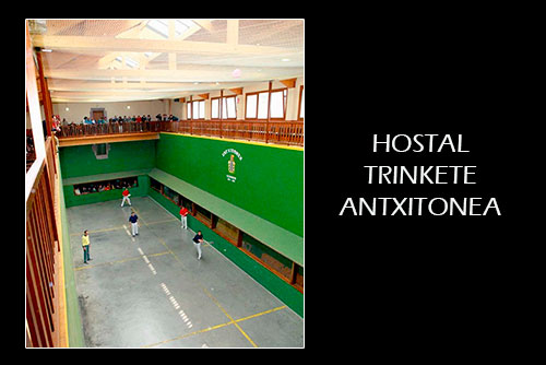
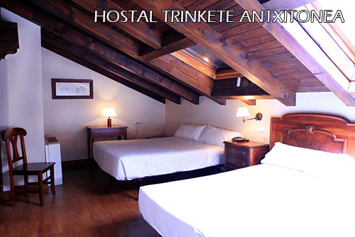
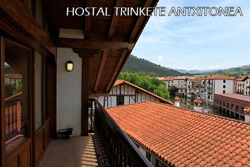
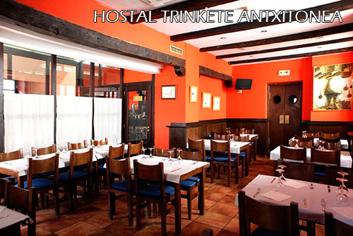
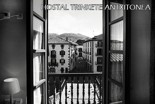
- Hotel Trinkete 3* -
- Hotel Rural Txantxorena -
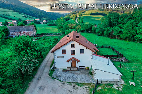
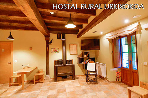
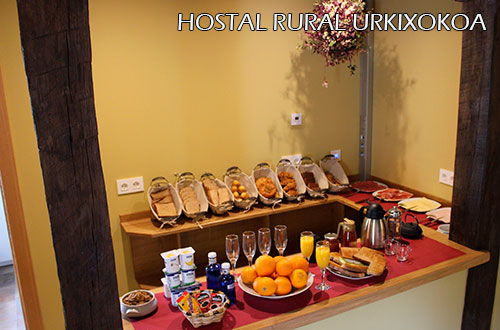
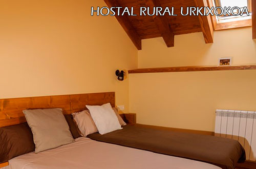
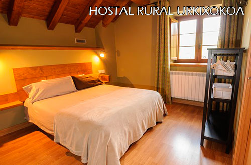
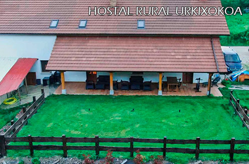
- Hostal Rural Urkixokoa -
- Hostal Rural Lola -


Rate for any of the 7-stage options
9 Days / 7 Stages / 8 Nights
1.740 € Price per person for groups of 6 or more people
1.884 € Price per person for groups of 4 or 5 people
2.186 € Price per person for groups of 3 people
2.354 € Price per person for groups of 2 people
Single room supplement: 398 €
When the group consists of an even number of people, an even number of applications will also be necessary to access this supplement.
Rate for any of the 9-stage options
11 Days / 9 Stages / 10 Nights
1.980 € Price per person for groups of 6 or more people
2.146 € Price per person for groups of 4 or 5 people
2.469 € Price per person for groups of 3 people
2.644 € Price per person for groups of 2 people
Single room supplement: 470 €
When the group consists of an even number of people, an even number of applications will also be necessary to access this supplement.
Rate for any of the 12-stage options
14 Days / 12 Stages / 13 Nights
2.390 € Price per person for groups of 6 or more people
2.592 € Price per person for groups of 4 or 5 people
2.972 € Price per person for groups of 3 people
3.160 € Price per person for groups of 2 people
Single room supplement: 568 €
When the group consists of an even number of people, an even number of applications will also be necessary to access this supplement.
In these proposals when the groups are odd, the accommodation is offered in double rooms and a single room.
- TRIPLE ROOMS ARE NEVER USED -
Rates for the whole year, subject to availability.
The prices may vary when the dates coincide with the Easter holidays or with the Patron Festivities of any of the places of accommodation.
- As many nights of accommodation in Hotel - with dinner included - as stages have the Pack
+ 1 Hotel NIHGT with DINNER at the end of the last stage Transport of luggage between hotels
1 bag or package of a maximum of 20 kg per person
If not needed, the cost of this service will be deducted from the proposal- Tracks of the route in GPX format for mobile phones or GPS devices and printed map with each day routes options
- Explanatory printed map-sketch of the different route options for each stage
One per stage Download sample - Link to services that may be necessary along the route
- Presentation of the route and delivery of information in hand the day of the arrival of the group to the hotel or the morning of the next day
We add 1 briefing more in the ecuador of the trip for 7 or 9 stages trips and 2 briefing more in the case of trips with more than 10 stages - Telephone assistance for incidents or consultations during the days of the contracted activity
- Transport with TAXI-BIKE the morning of last day of trip from the end point of the route to the point where the trip started
- Beers or other consumptions outside the proposed menus in the dinners or during the stay in hotels
- Meals in restaurants at the time of the noon, unless it has been agreed previously to replace dinner with meals
- Any kind of sports material, helmets, shoes, etc
- Mechanical Assistance during the activity
If possible, we will try to help you in case of a breakdown, but in many situations this help can be very limited due to lack of specific spare parts or other circumstances. The cost of the service if it can be done is € 18 per hour + € 0.40 per kilometer. - Anything not expressly indicated in the offer
- Airport/station pick up
We put you in contact with the transfer companies that provide these services. We do not include its cost in our proposal. - Bicycle rental
We put you in touch with a rental service in the nearest place to the route start point - Hire Asistance / Accident Insurance
and / or Trip Cancellation Insurance
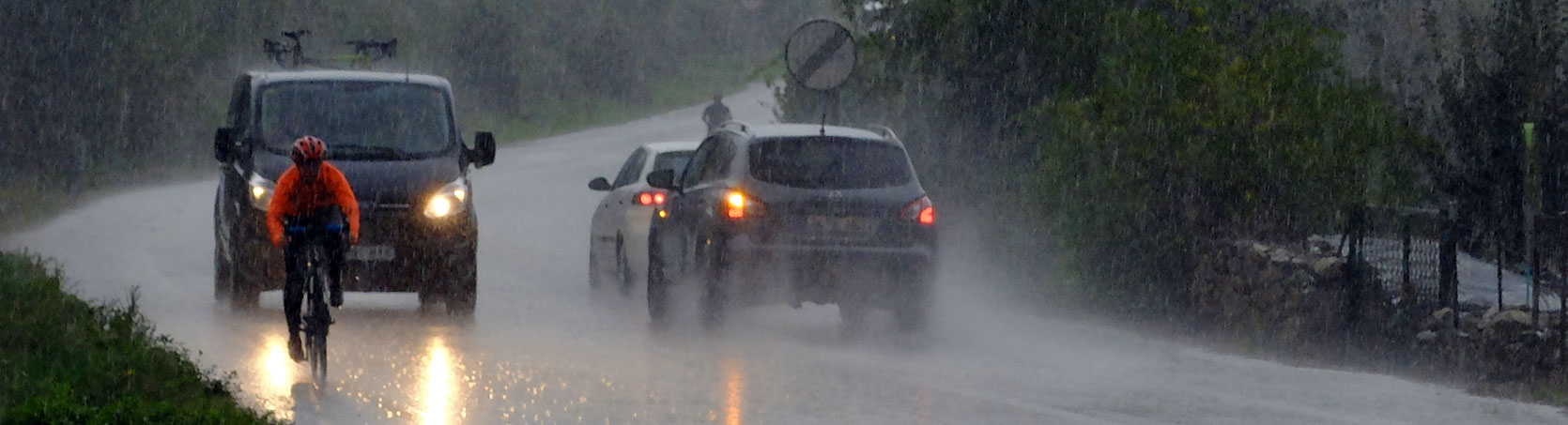
- Best time to go: The route can be done once the snow disappears in the highest mountains of the route. From there, we dare not say that one era is better than another. It really depends on the specific weather of the days we choose.
Do not underestimate the weather, not even in the middle of summer. The conditions -especially in the Pyrenees- can be identical to those of the Central Pyrenees. To summarize... our advice is: bring even the long culotte and if it doesn´t come out from the suitcase, all the better.
In summer it is necessary to be aware of the possibility of storms -frequent in the afternoons-. - Type of tracks: Paths and tracks with more physical than technical demands, both uphill and downhill. The "singletracks" selected from the MTB Centres through which the route passes are usually blue level. Sometimes they can be red, but it is always a temporary and avoidable difficulty. To summarise, we can say that the aim is to make the paths have "flow" while avoiding the "enduro" concept as much as possible.".
For technically demanding sections - which sometimes exist - when possible we offer alternative tracks, although the easiest way to avoid distorting the route is to get off the bike. - Ideal bike: Preferably a dual suspension MTB bike.
- Orientation: The route must be followed with a GPS device or with the mobile phone App that you are used to using for the same purpose.
It is not advisable to try to learn how to use an App on the fly.
We do not provide Apps or GPS user manuals. It is up to the users to have this knowledge.
There is no on-site signage. - Ciclability: Depending on the technical skills and strength of each person, the route is 98%.
- Provisioning: Although we sometimes find refreshment points, depending on the time of year we may find that some establishments are closed. The documentation we provide at the start of the route provides information on the options at each stage.
Related Tours