ASFPALT
challenge

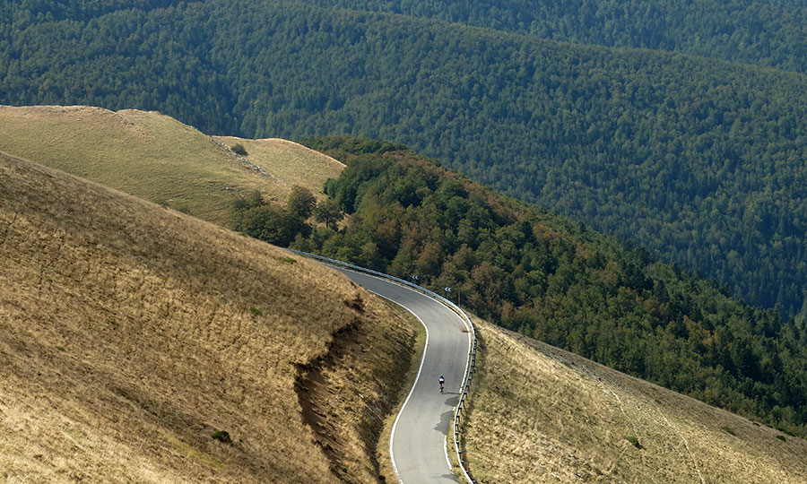
Distance: 142km Unevenness: 4060m
They say that Samuel Beckett came out with the idea for the title of Waiting for Godot in a Tour de France. All the riders had crossed the line, but the public remained motionless, waiting. - For whom? asked the Irish eaglet. "To Godot " they answered him in reference to the poor devil who was always the last to end the race. Mythology pursues the first play that premiered Beckett (does Godot come from God in English or from boot in French?), the work that made him one of the most important authors of all the times, which built the perfect metaphor about the mystery of modern man and his unease.
Waiting, always waiting, while life passes. Because, needless to say, Godot will not come.
Elsa Fernández-Santos - El Pais 2013. Read full article.
This is our contribution to the anecdotes of life, a near-perfect route.
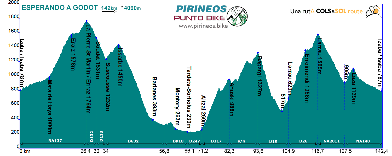
Itinerarie: Isaba NA137 - Mata de Haya - Pto. La Piedra de San Martin D132 - Arette St esqui - Soudet D113 - Suscousse D632 - Barlanes - D918 - Tardets-Sorholus D247 - Altzai D117 - Ahuski carretera s/n - Bagargi D19 - Larrau D26 - Pto. Larrau NA2011 - NA140 - Isaba
If you want to see the route on wikiloc website click on the green icon on the map.
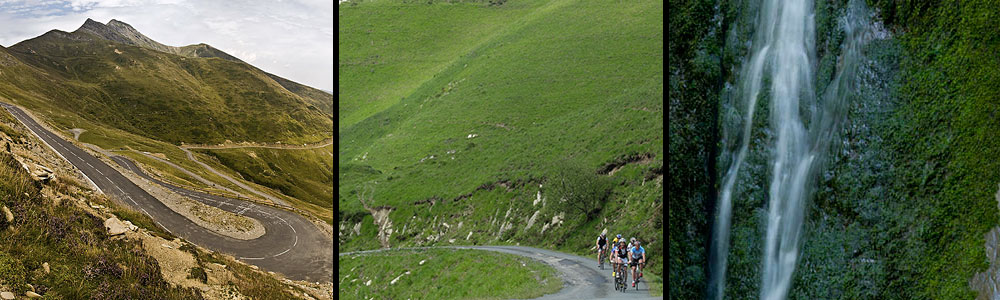
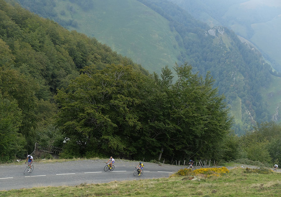
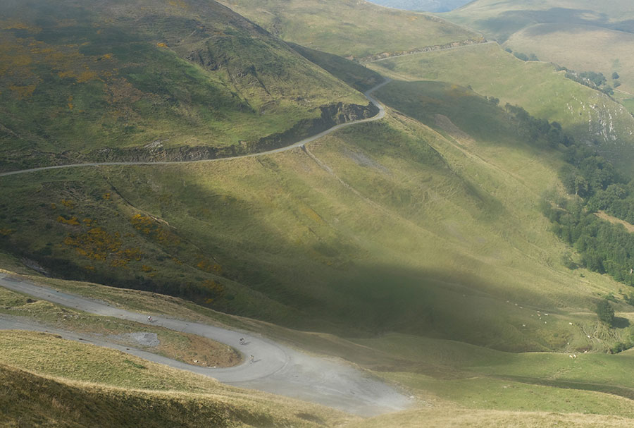
Dejando atrás el llano de Belagua, ascenso a La Pierre de St Martín por Isaba.
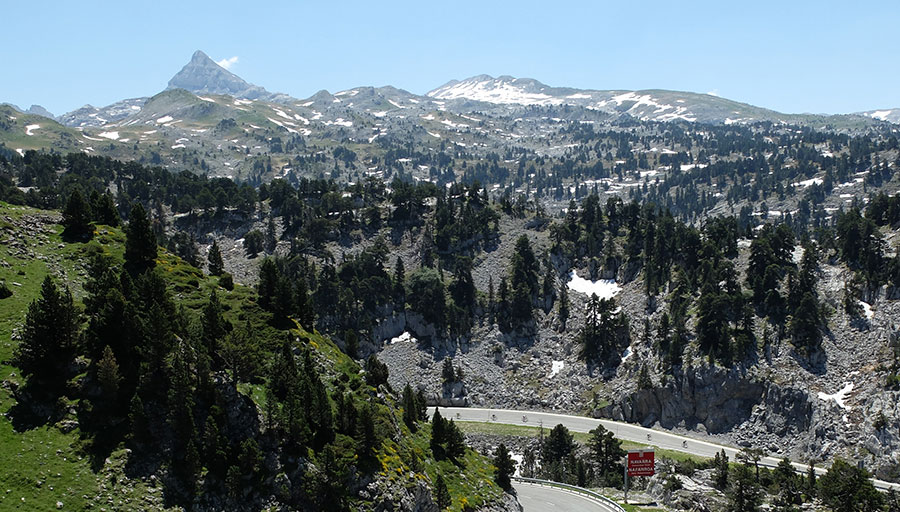
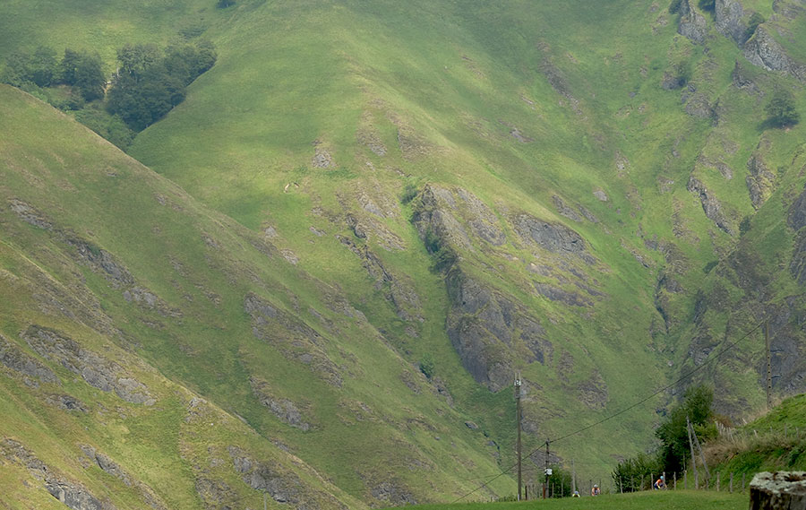
El pico Anie sobre el karst de Larra, territorio pirenaico con ambiente propio.
Larra
Larra
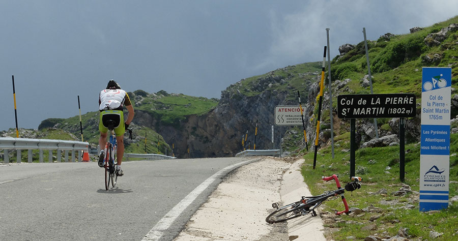
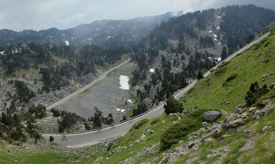
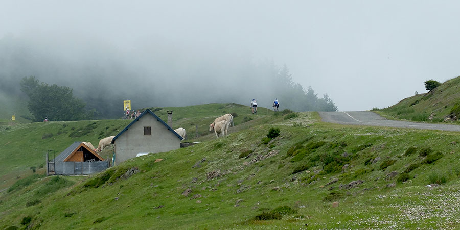
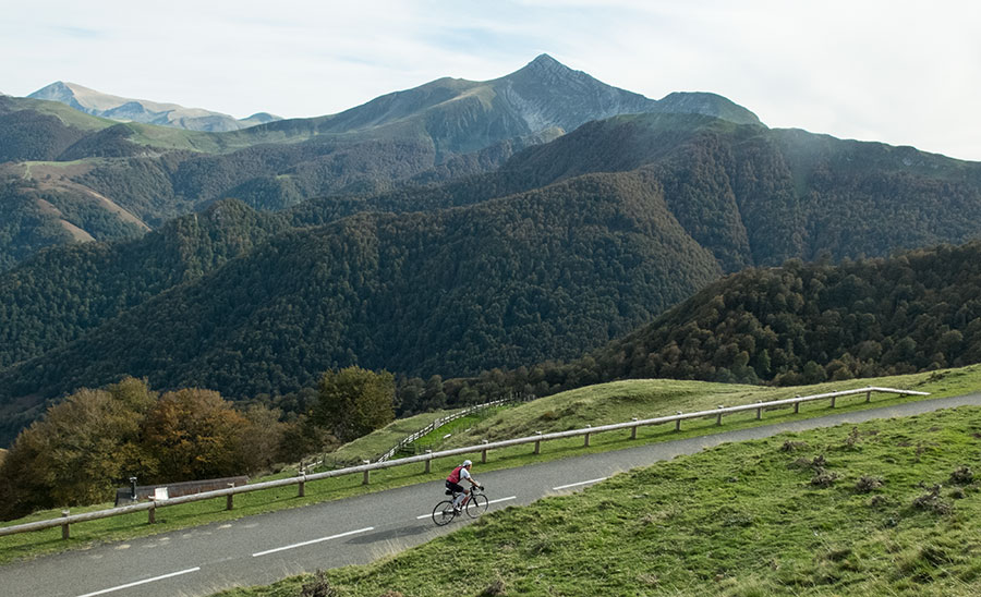
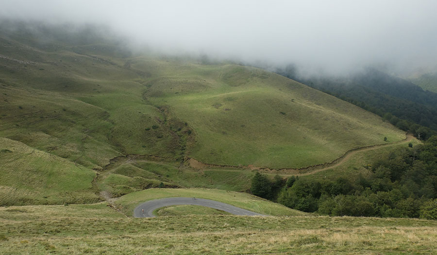
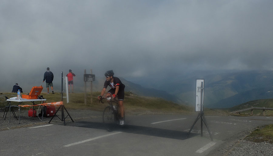
COL La Pierre de St Martín
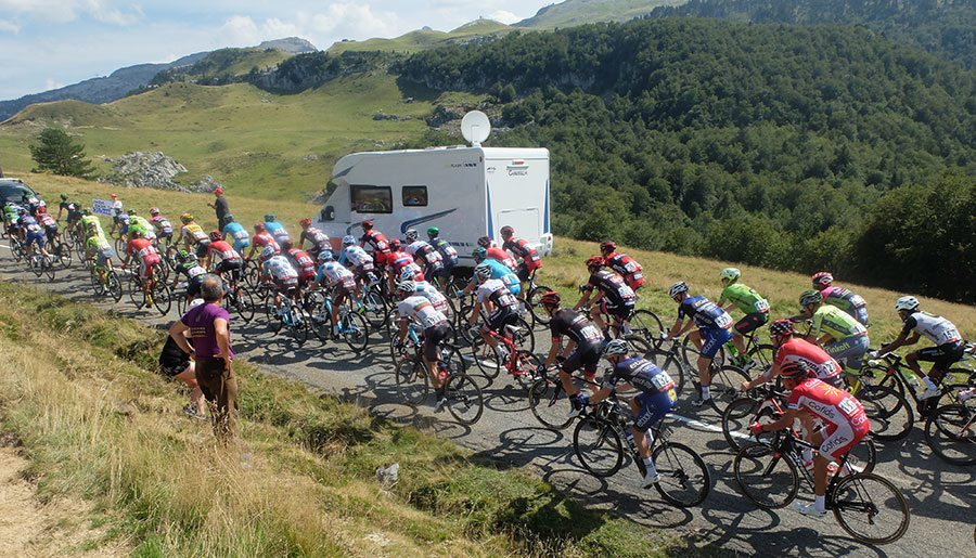
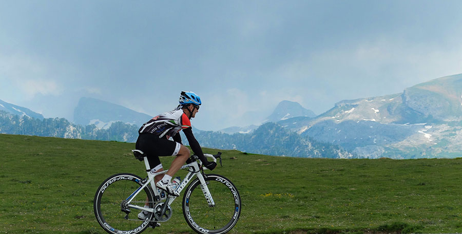
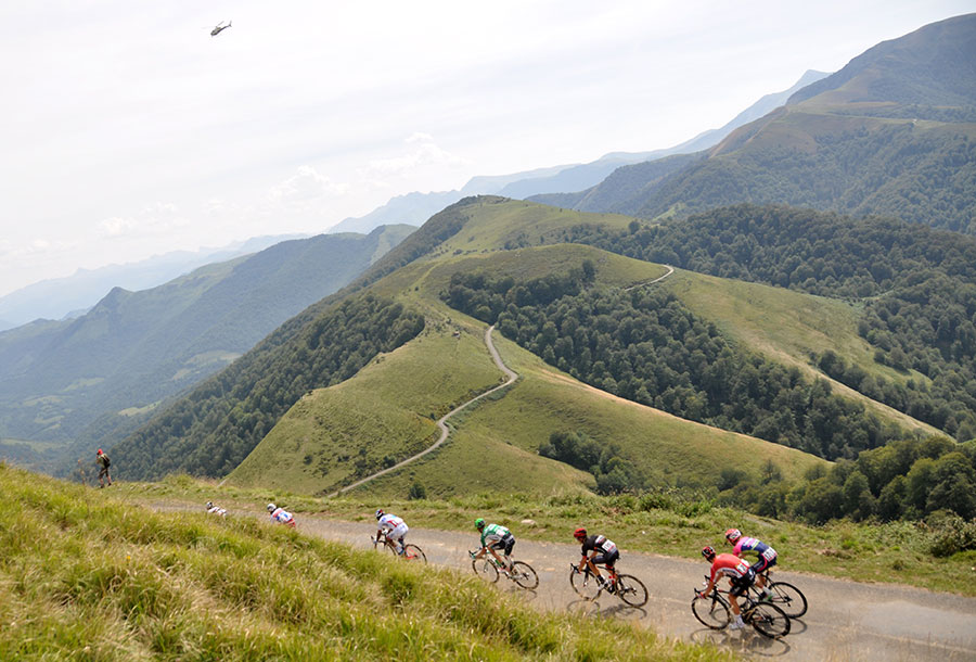
Soudet -Vuelta a España 2016-
Soudet -Vuelta a España 2016-
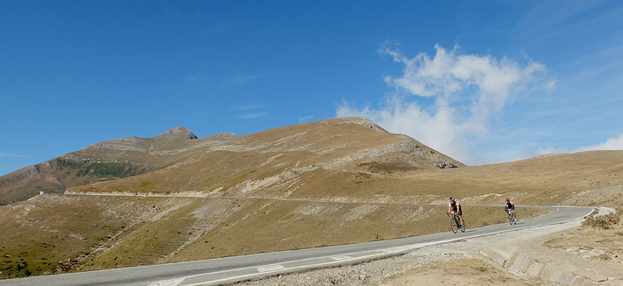
COL de Issarbe
Ahuski
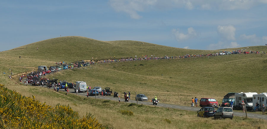
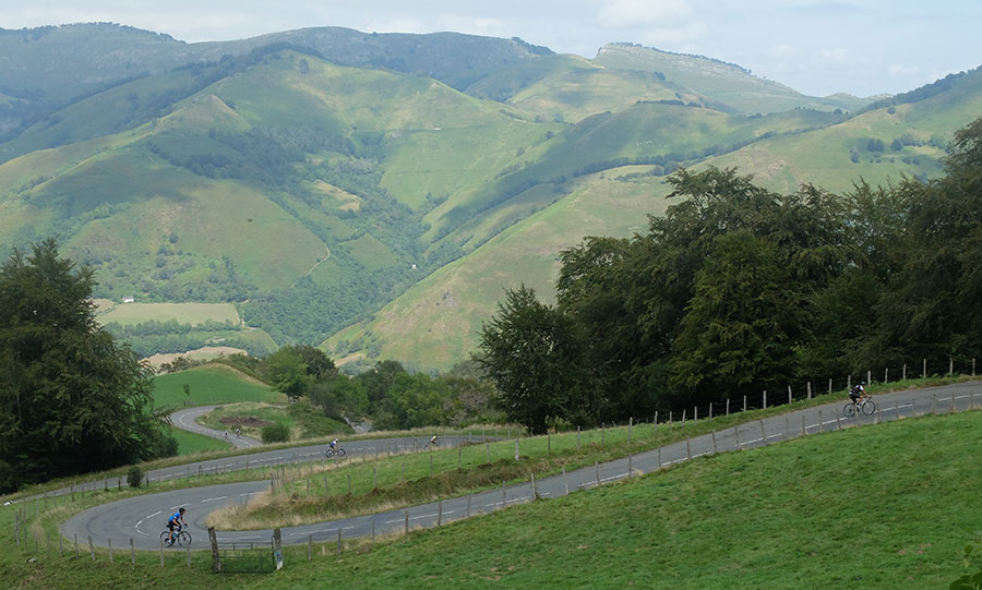
Ahuski - Bagargi -Vuelta a España 2016-
Bagargi
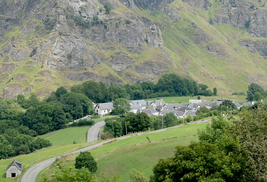
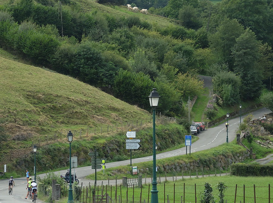
Larrau
Larrau
Larrau
Larrau
Larrau
Larrau
Larrau
Larrau
Larrau
Larrau
Larrau
We are where we are, in the Atlantic Pyrenees, with a plain to the North with localities at very low altitude and ports that are close to the 2000m range.
The southern slope is more "human", towns are in a higher altitude and the slopes are not so important.
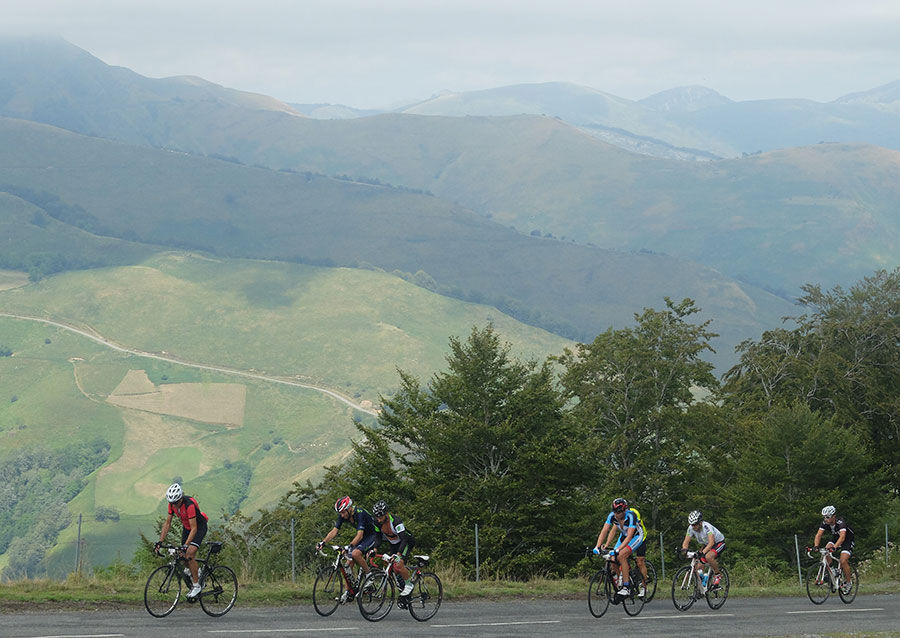
The vast majority of the routes cover the ports of the "greats": Issarbe, La Piedra de St Martin, Laberouat, Bagargi, Artaburu, Arnostegi, Ahuski, Larrau...with slopes ranging between 1000 and 1700 meters. Some routes ascent one of these ports, others 2 or 3 and even more.
We anticipated this so the criteria are clear for each 6 levels that we have chosen for the ranking of the routes.
- Walks or family routes: Routes with light slopes and little travel. Suitable for untrained family groups or for people who usually don't use the bike.
- Easy: Routes with a slope that can reach 1000 meters but facing none of the large ports.
The distance will range between 40 and 60 kilometers. - Moderate: Routes with one of the "great" ports or a combination of similar difficulty. The slopes can be really important and slopes can range between 1000 and 2000 meters.
An example of "moderate" is the Artzaiak S stage through Bagargi. The port is tough, but it is the only major difficulty of the day, i.e. we have the whole day for this task, that’s why we left it in "moderate"..
The distance will vary between 60 and 100 kilometers. - Hard: Routes with a slope ranging around 2500 meters. There may have to ascend 2 ports of the "greats" or one and several of the "minor".
The distance will vary between 90 and 130 kilometers. An example of how difficult it can be, will be the short route of the well-known Larra-Larrau. - Very hard: Routes ranging from the 2500 and 4000 meters of altitude. Sometimes there may have to ascend the 3 ports of the '' greats ''. The distance will exceed the 100 kilometers and may reach the 200.
The long route of Larra-Larrau is one of the exponents of how difficult this route is. - Challenge: In these times there is a public that demands "more" yet. To them arises the concept of "challenge": stages of more than a day in "non-stop" mode, 4500-5000 or even more meters of altitude routes, individual or group time trial with 3000 meters of altitude and over 100 kilometers of route.
Finally, a variety of what riders would usually call "nonsense" which to be more elegant, here we call it, 'Challenges'.
 Return